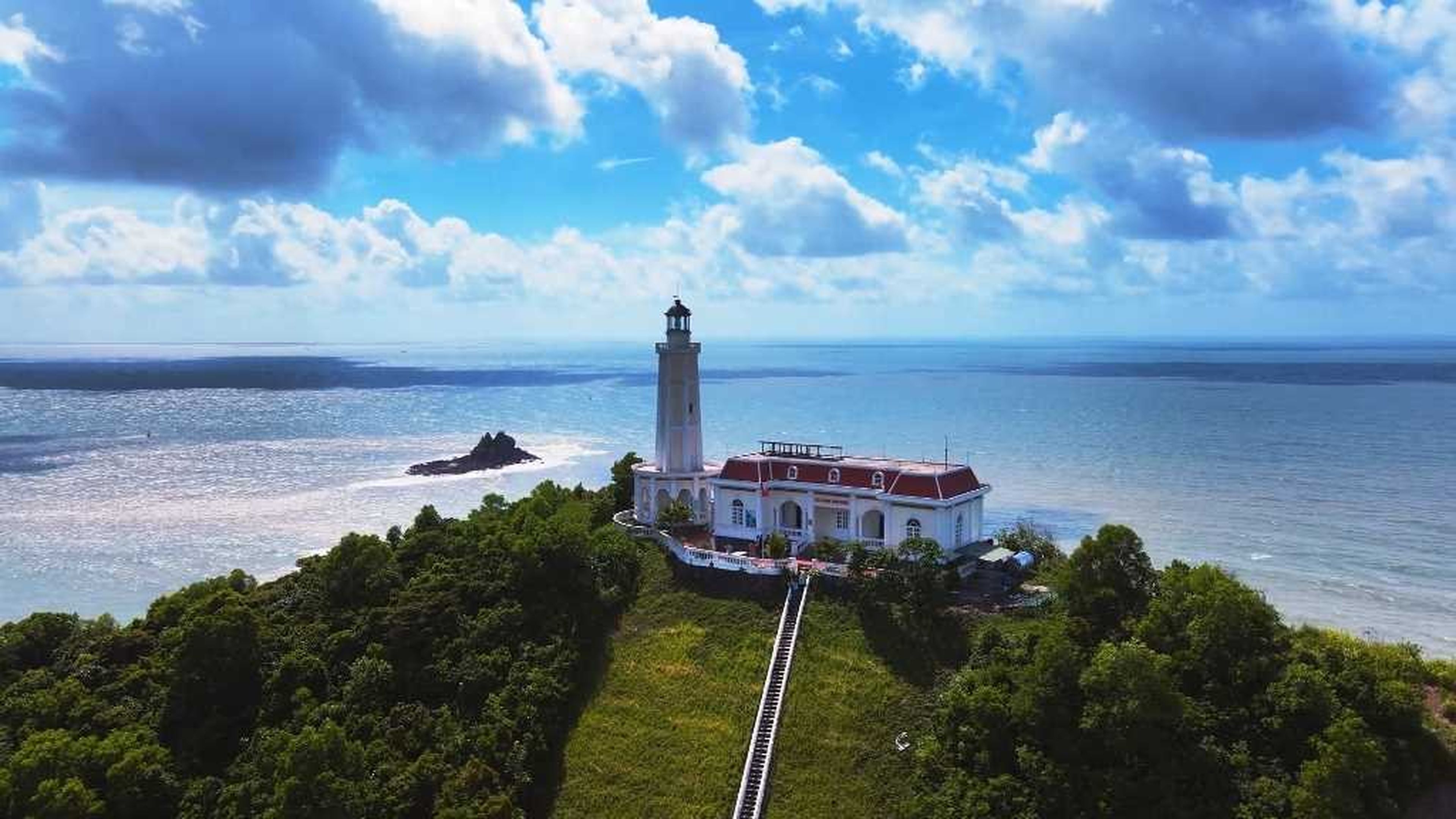
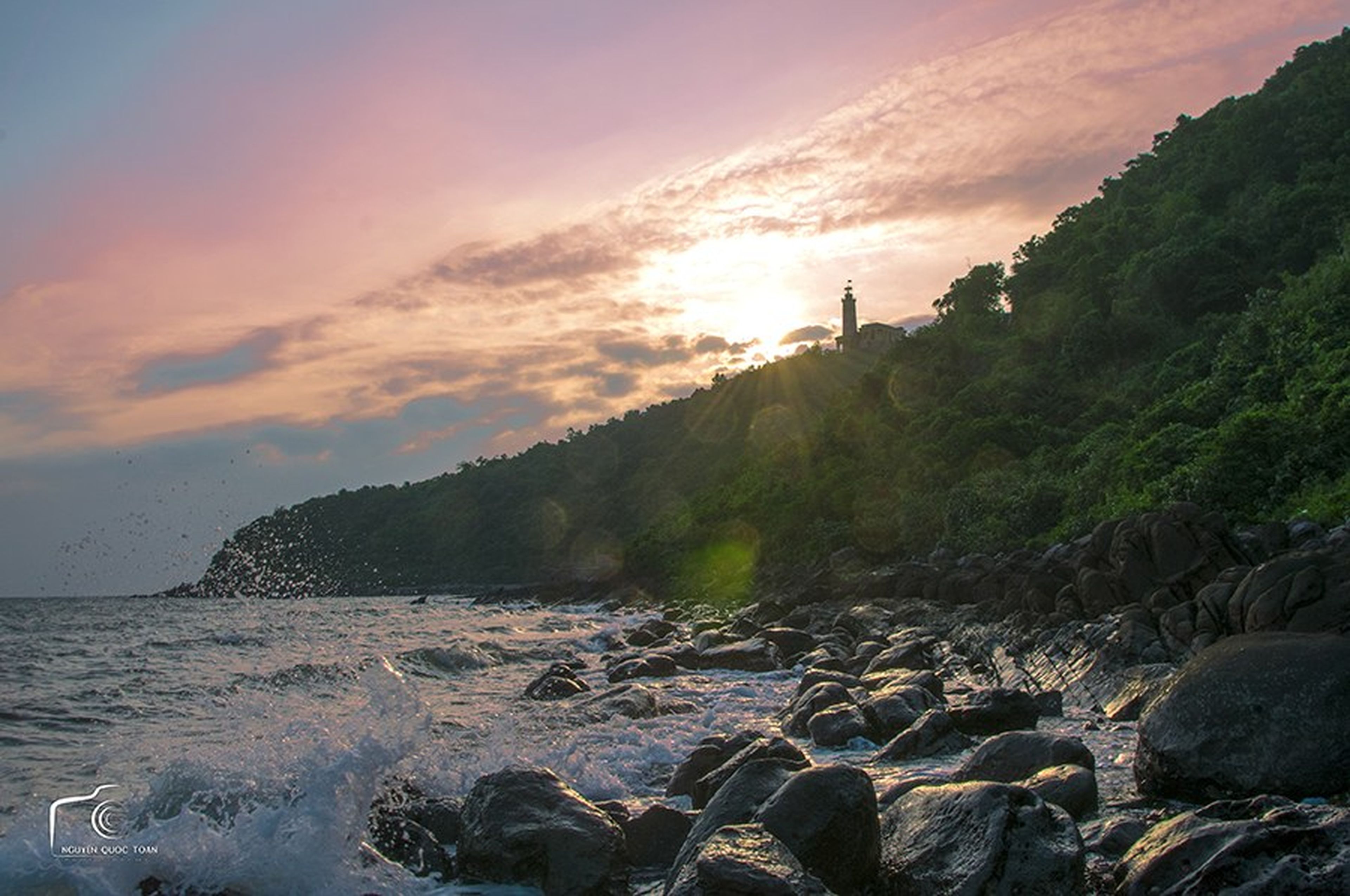
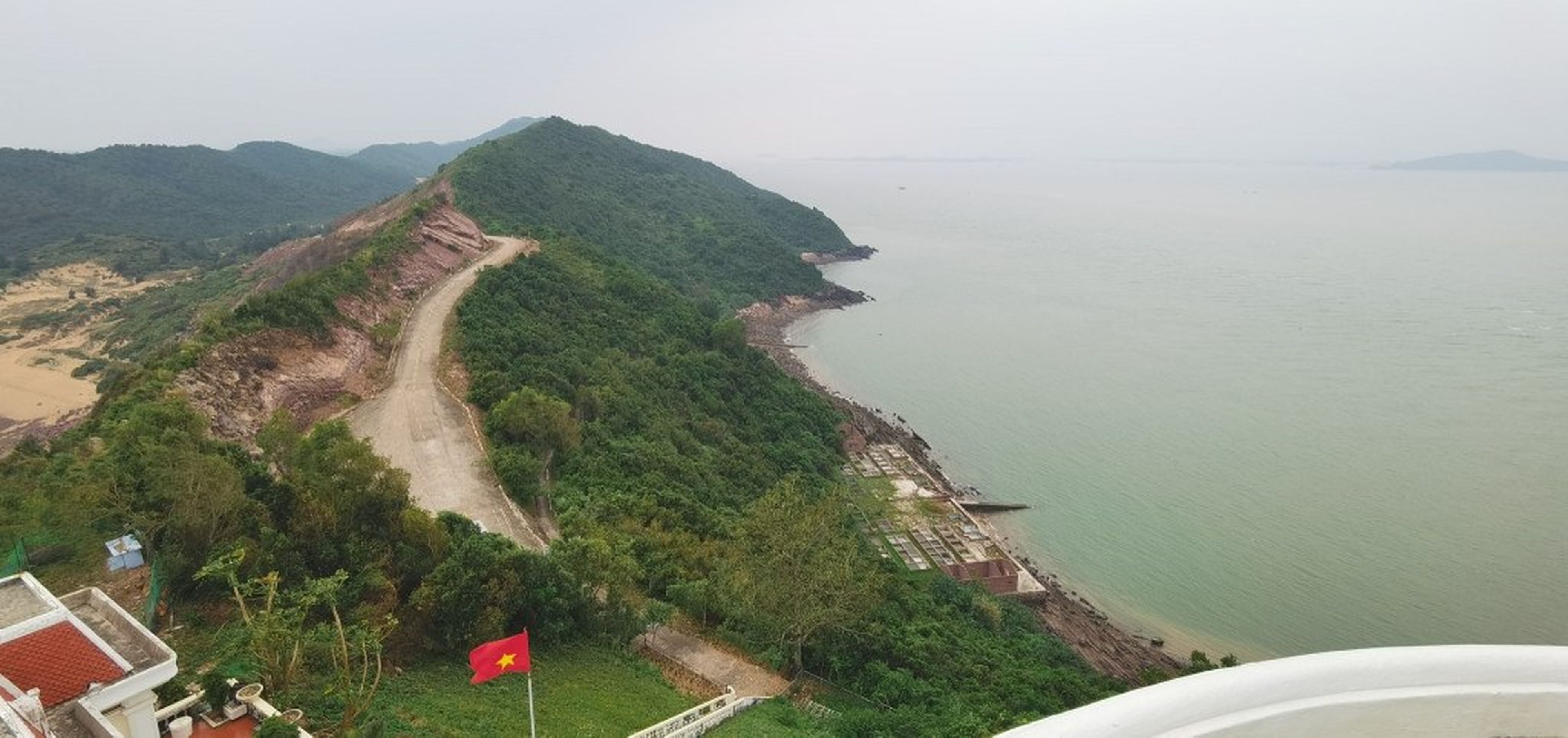
Vĩnh Thực Lighthouse is located on Vĩnh Thực Island, in Móng Cái City, Quảng Ninh Province. The lighthouse is the sea beacon positioned at the northernmost starting point on Vietnam’s beloved S-shaped land!
Vĩnh Thực Lighthouse – The Sea Beacon at the First Point on Vietnam’s S-Shaped Land
Vĩnh Thực Island occupies a strategic position, guarding the maritime boundary with neighboring countries and opening onto the rich fishing grounds of the Northeast. With this position, Vĩnh Thực Lighthouse also became the first sea beacon on Vietnam’s maritime map.
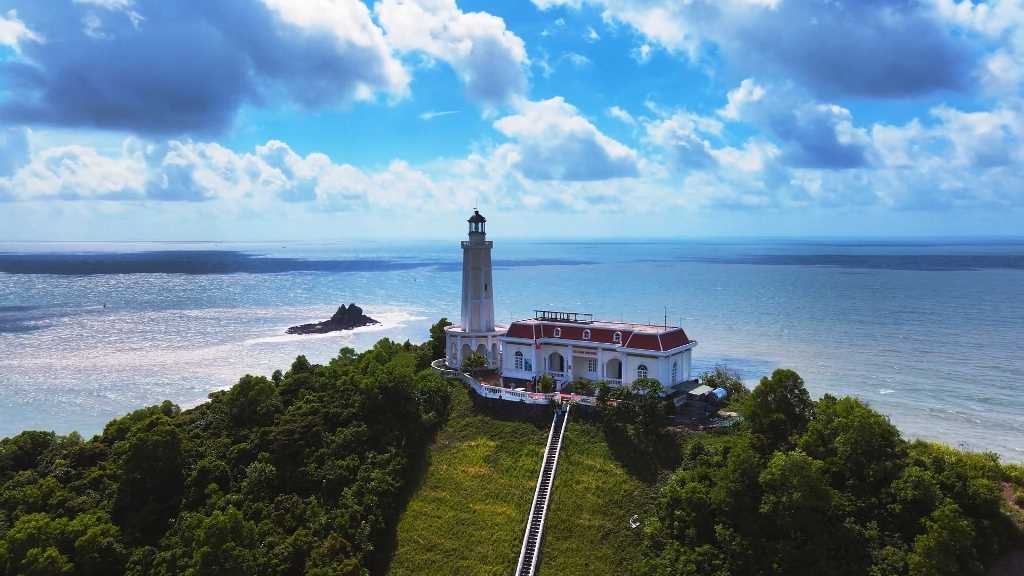
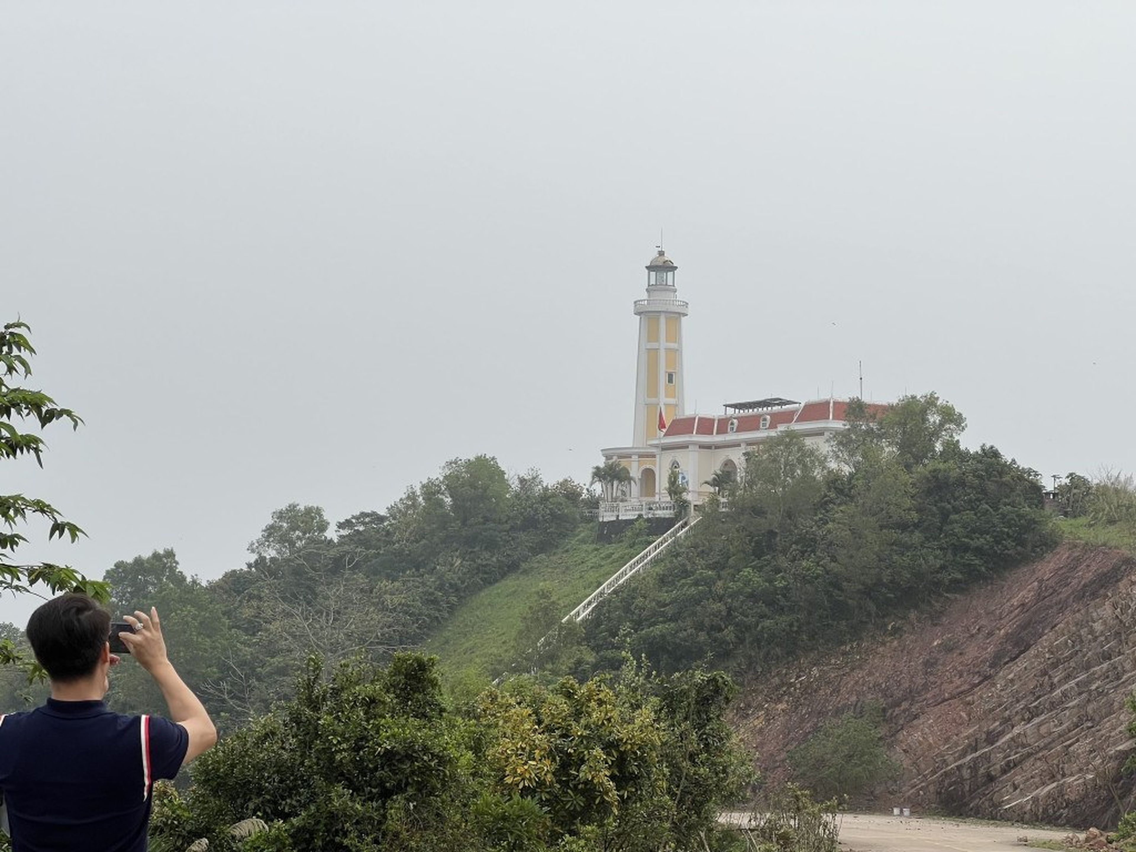
Vĩnh Thực Lighthouse. Photo: Móng Cái City.
Lighthouses always play an extremely important role; moreover, their light in the darkness of night is also a good omen for those at sea.
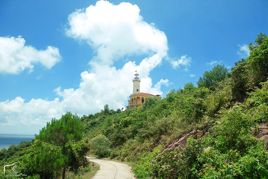
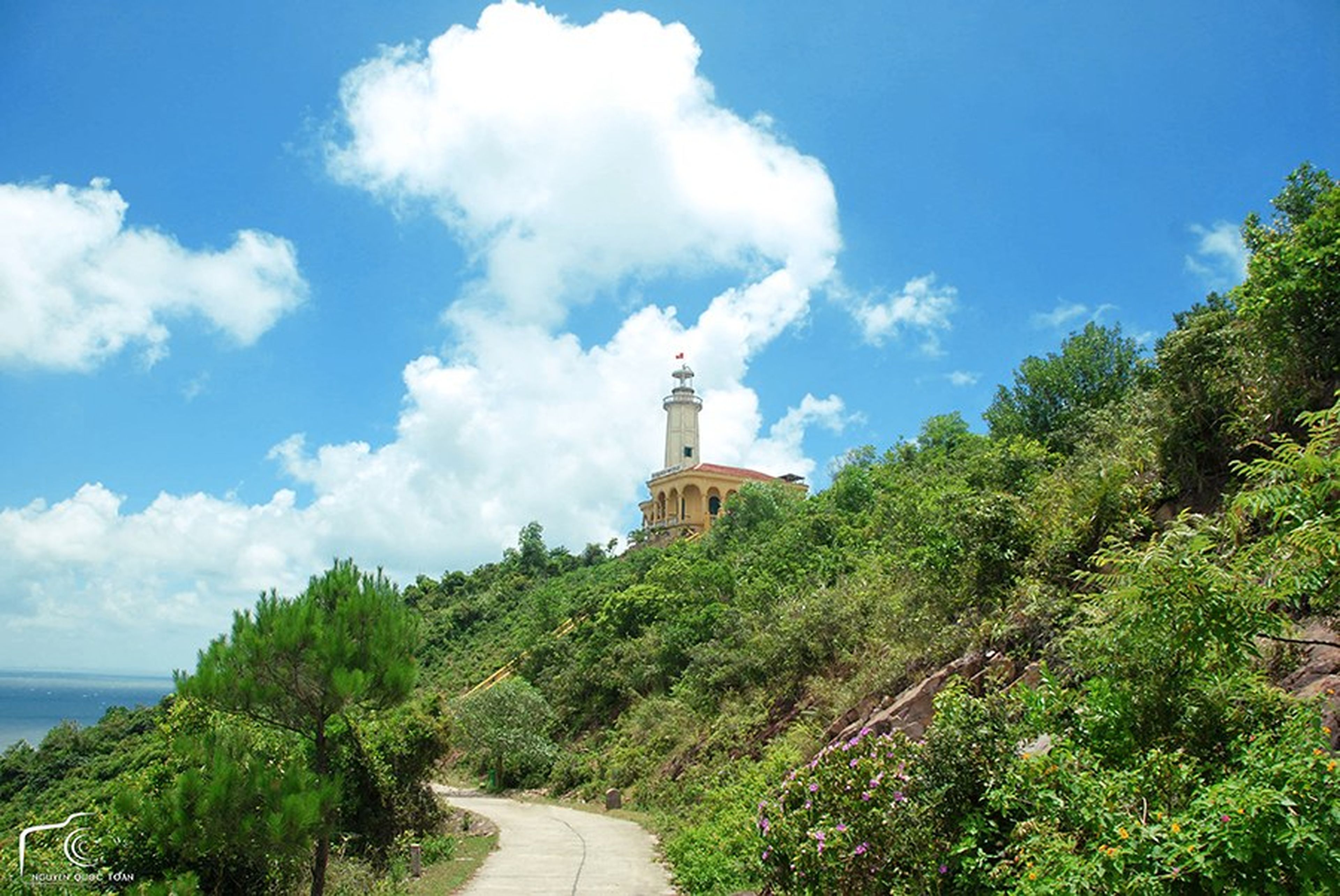
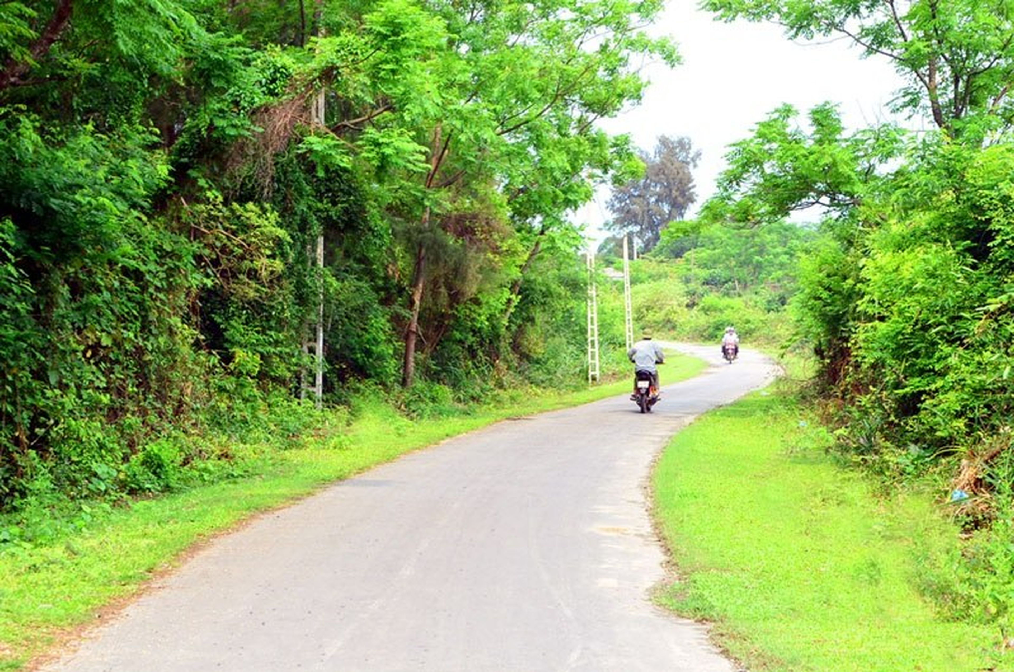
The road up to the lighthouse. Photo: mongcai.gov.
Put into operation in 1962, after more than half a century of lighting the way, Vĩnh Thực Lighthouse has always fulfilled its important mission. The lighthouse shines, creating a safe maritime corridor that helps vessels travel, find their direction and position, while also carrying out the obligations of safeguarding the sovereignty of the sea and islands.
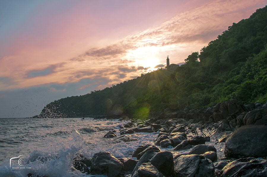
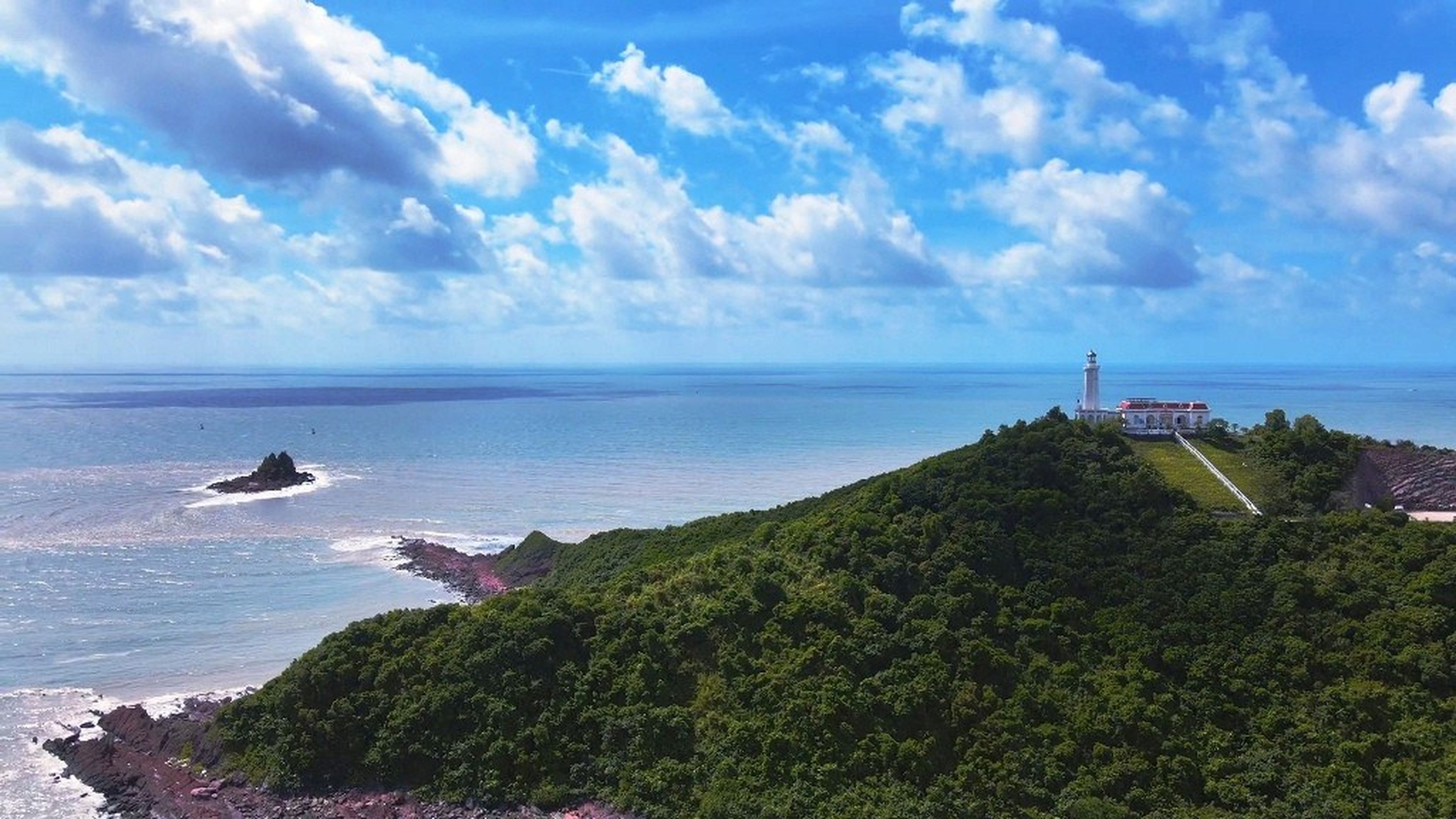
Vĩnh Thực Lighthouse seen from afar at dawn. Photo: mongcai.gov.
From Mũi Ngọc in Trà Cổ, Móng Cái, it takes just 10 minutes by speedboat to set foot on Vĩnh Thực Island. On the journey from Mũi Ngọc to Vĩnh Thực, you will be impressed by the briny scent of the sea, the sound of the wind tearing through the air, and the vivid blue expanse of sea and sky.
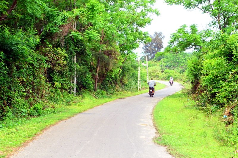
The tree-shaded road across the island. Photo: Lã Nghĩa Hiếu.
Vĩnh Thực Island comprises the two communes of Vĩnh Thực and Vĩnh Trung, covers an area of 5,000 ha, and has a population of more than 4,000. Island residents still maintain the traditional lifestyle of coastal communities, earning their living mainly from fishing, farming, and aquaculture.
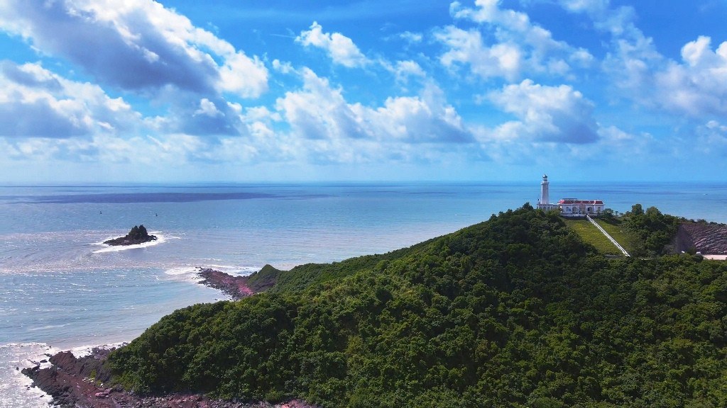
Photo: Quảng Ninh Newspaper.
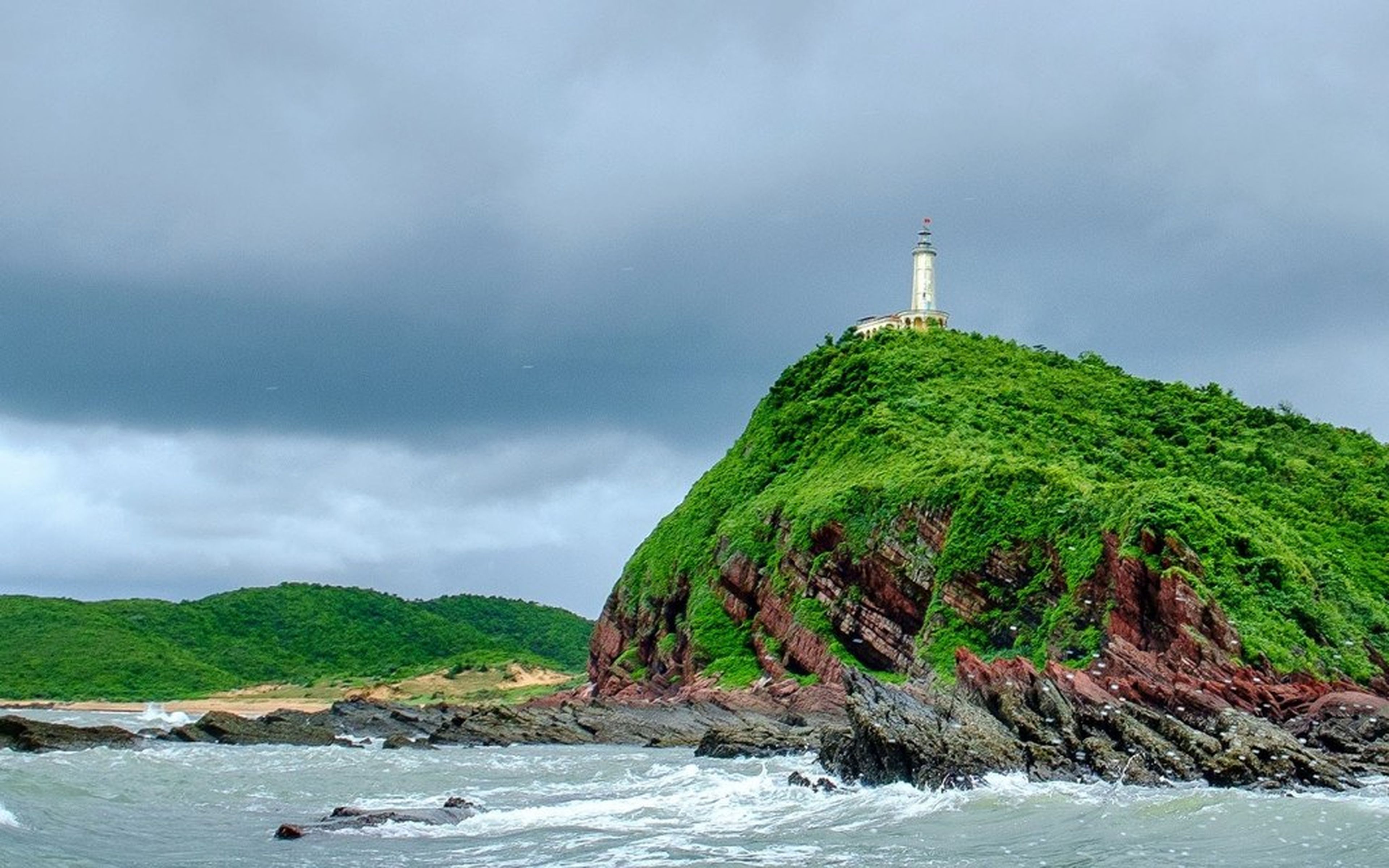
The road leading to the lighthouse stretches nearly 15km, passing through forests, ponds and lakes, as well as houses featuring the distinctive architecture of coastal homes. Before visitors lie the sea cliffs on one side and steep mountain walls on the other; in the distance, atop Đầu Tán Mountain, stands Vĩnh Thực Lighthouse.
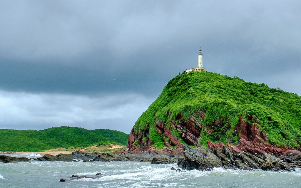
Photo: Northern Vietnam Maritime Safety Assurance Company.
The lighthouse belongs to the Northeast Maritime Safety Assurance Enterprise. It features French colonial architectural styling and consists of two separate blocks harmoniously combined. The auxiliary building is located below, while the white cylindrical lantern tower stands above.
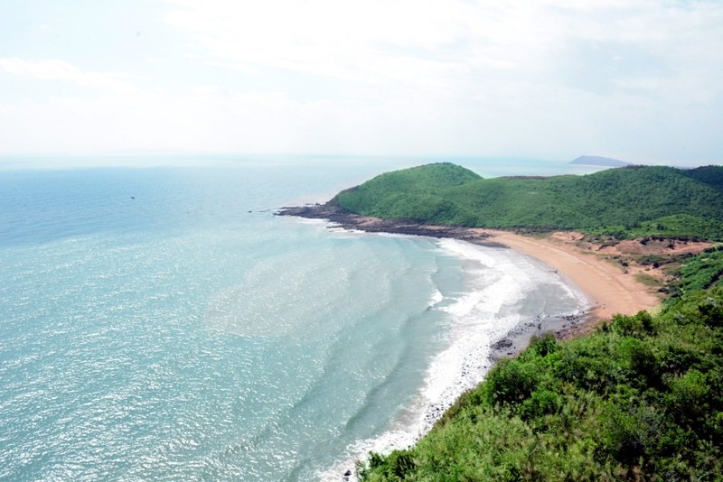
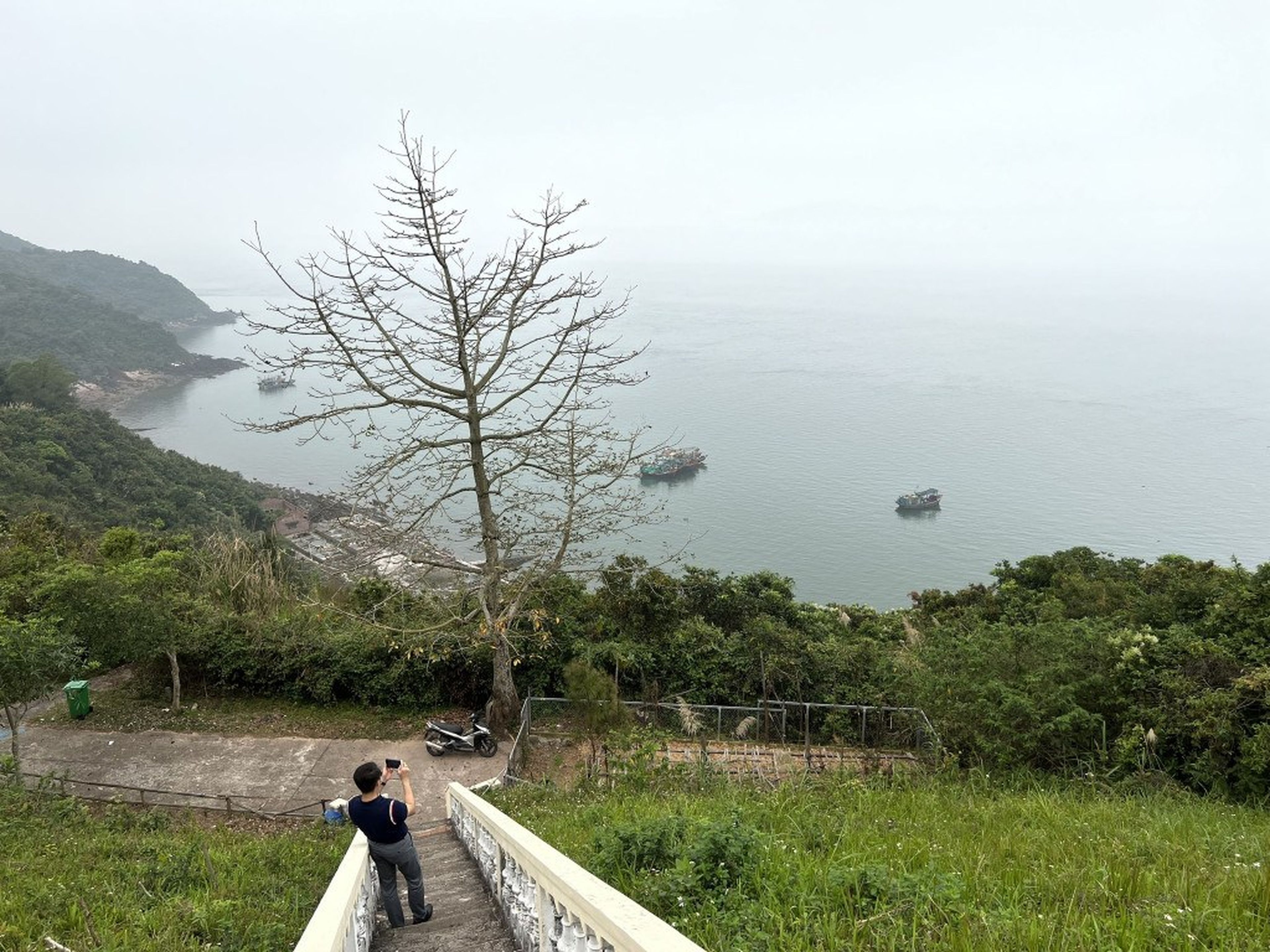
The sea around the lighthouse area. Photo: Lã Nghĩa Hiếu.
The auxiliary building has curved, arched roofs connected to the base of the tower by a short corridor. The lighthouse is 18m high from the foundation to the top of the lantern tower, while the height of the lantern tower from sea level to its top is 86m.
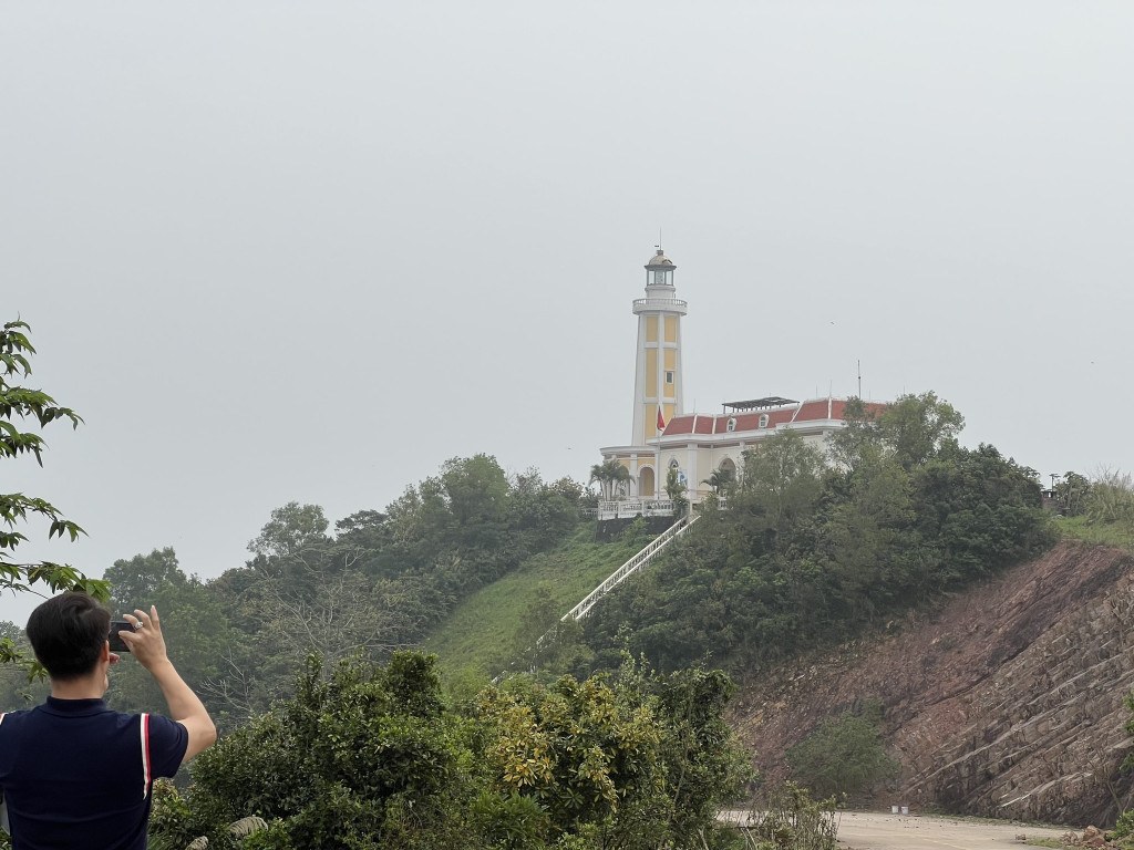
Vĩnh Thực Lighthouse is always an attractive tourist destination. Photo: Lã Nghĩa Hiếu.
With a focal-plane height of 84.5m, at night the lighthouse emits a white single-flash light with a 5-second period, covering 360 degrees, with a luminous range of 21 nautical miles.
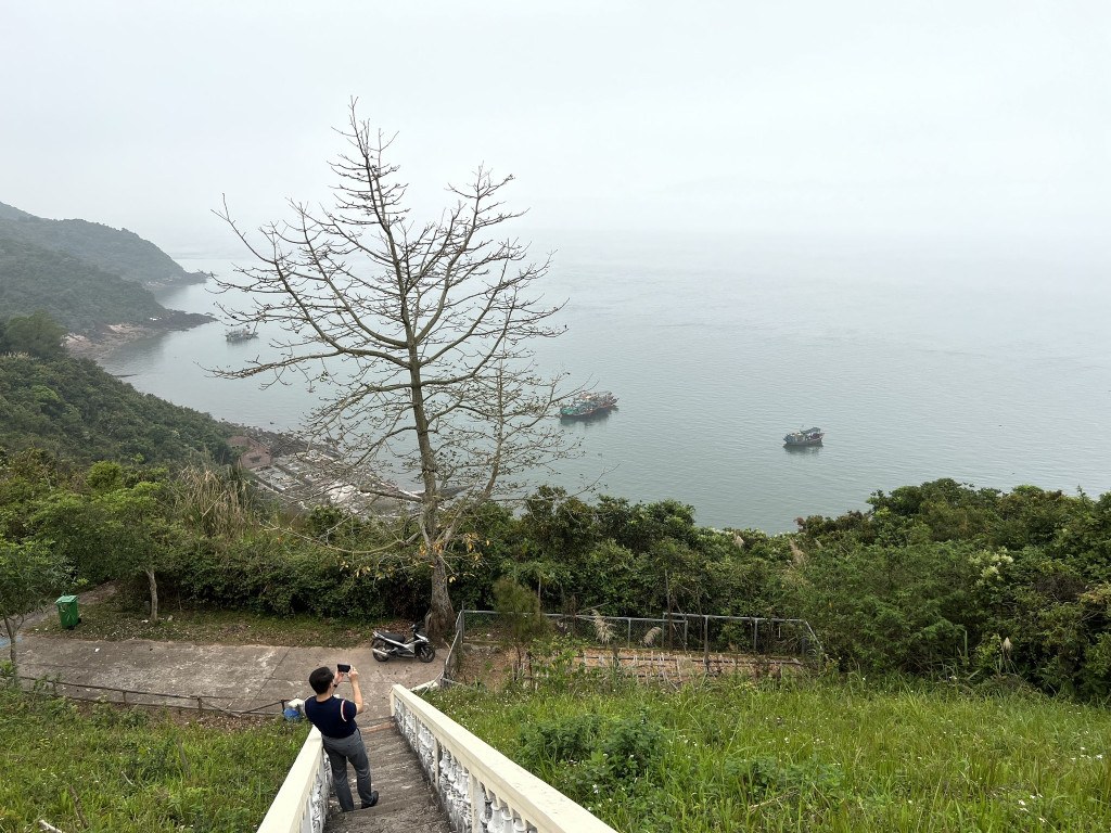
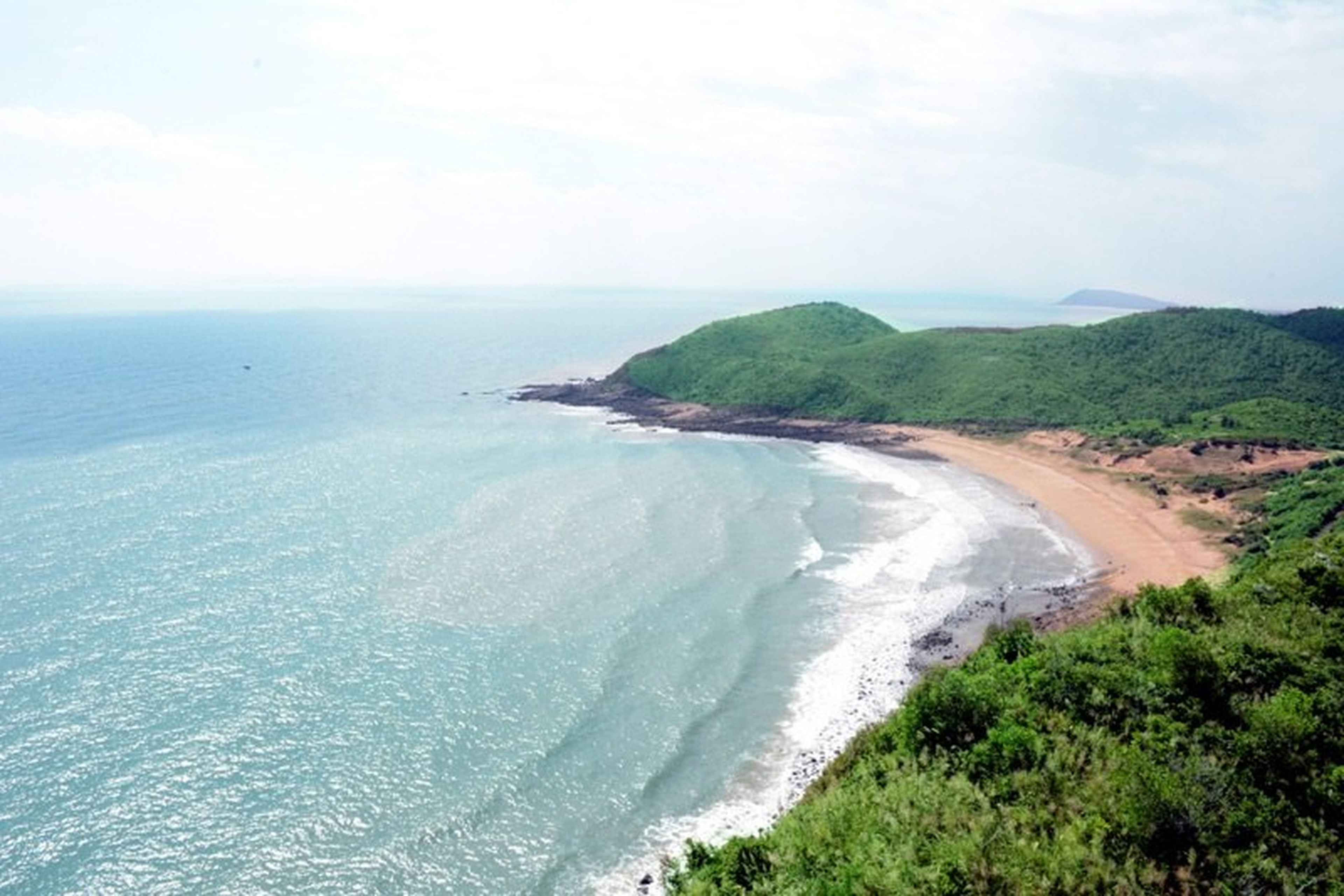
A corner of the island. Photo: Lã Nghĩa Hiếu.
Standing atop the lantern tower, visitors can admire the vast expanse of sea and sky, with Đầu Đông Beach on one side and Sa Vĩ Cape on the other—the northernmost point, where the sacred homeland begins.
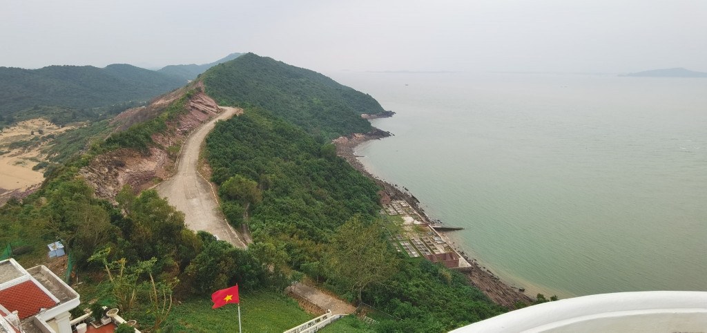
The view from Vĩnh Thực Lighthouse. Photo: Lã Nghĩa Hiếu.
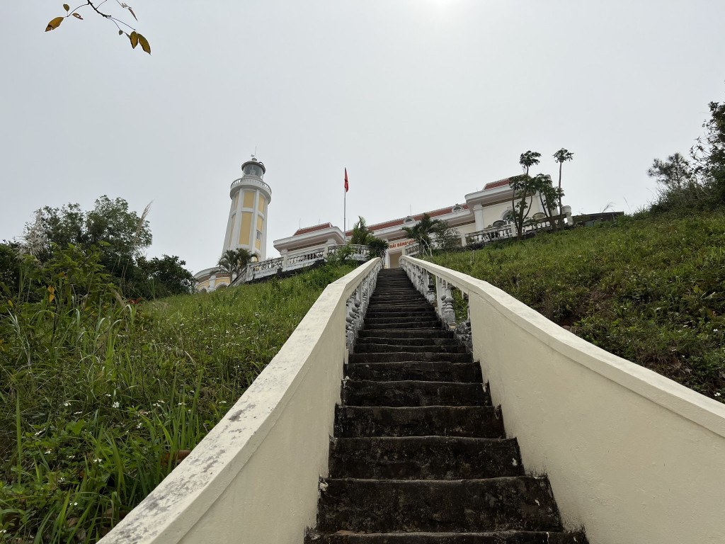
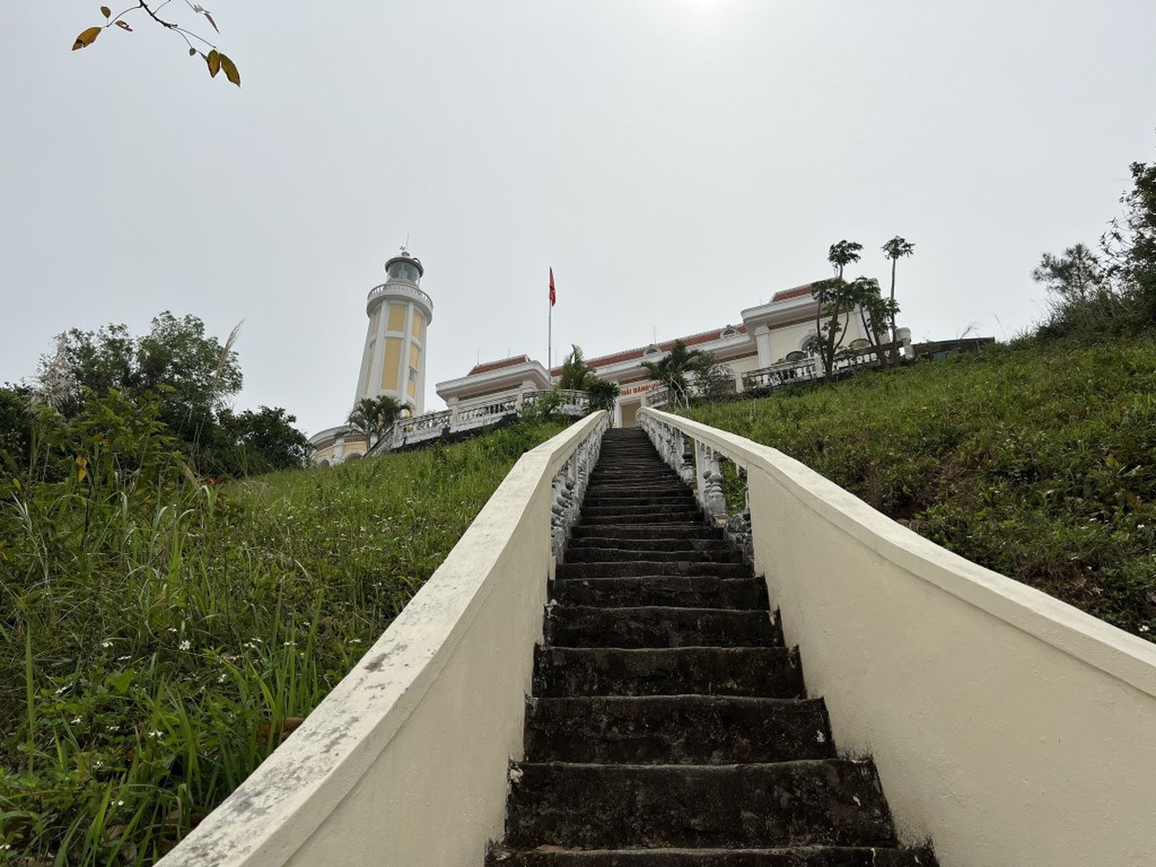
The stairs leading up to the lighthouse. Photo: Lã Nghĩa Hiếu.
Coming to Vĩnh Thực Lighthouse, visitors are not only visiting a beautiful destination but also embarking on a journey toward the homeland, seeing just how beautiful the sea and islands along the national frontier are. The sea beacons scattered throughout Vietnam’s waters stand like enduring markers, affirming national sovereignty over the borderlands.