When traveling to Ha Long Bay, you cannot miss the experience of exploring its island cluster—a wonder of nature that has bequeathed a World Natural Heritage site to humankind.
Stunning Islands You Shouldn't Miss When Visiting Ha Long Bay
Although Vietnam has increasingly gained more World Natural Heritage sites recognized globally over time, the very first one to be honored was Ha Long Bay. It is no exaggeration to say that Ha Long Bay has played a tremendous role in introducing Vietnam in general, and Vietnamese tourism in particular, to international friends while continuously affirming its standing on the global travel map.
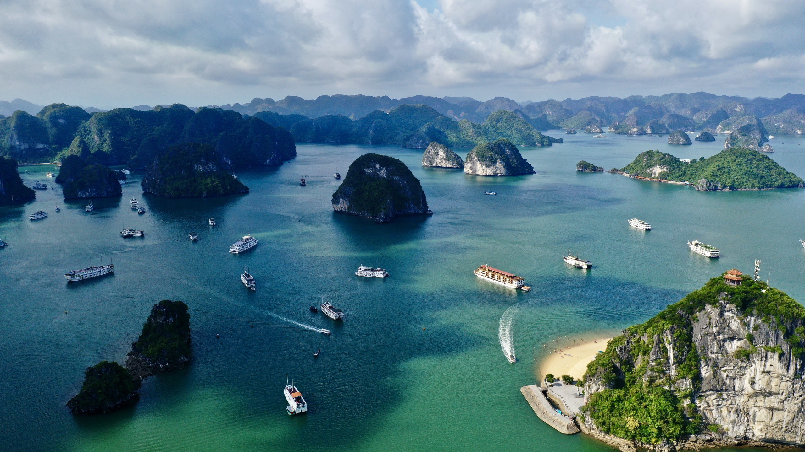
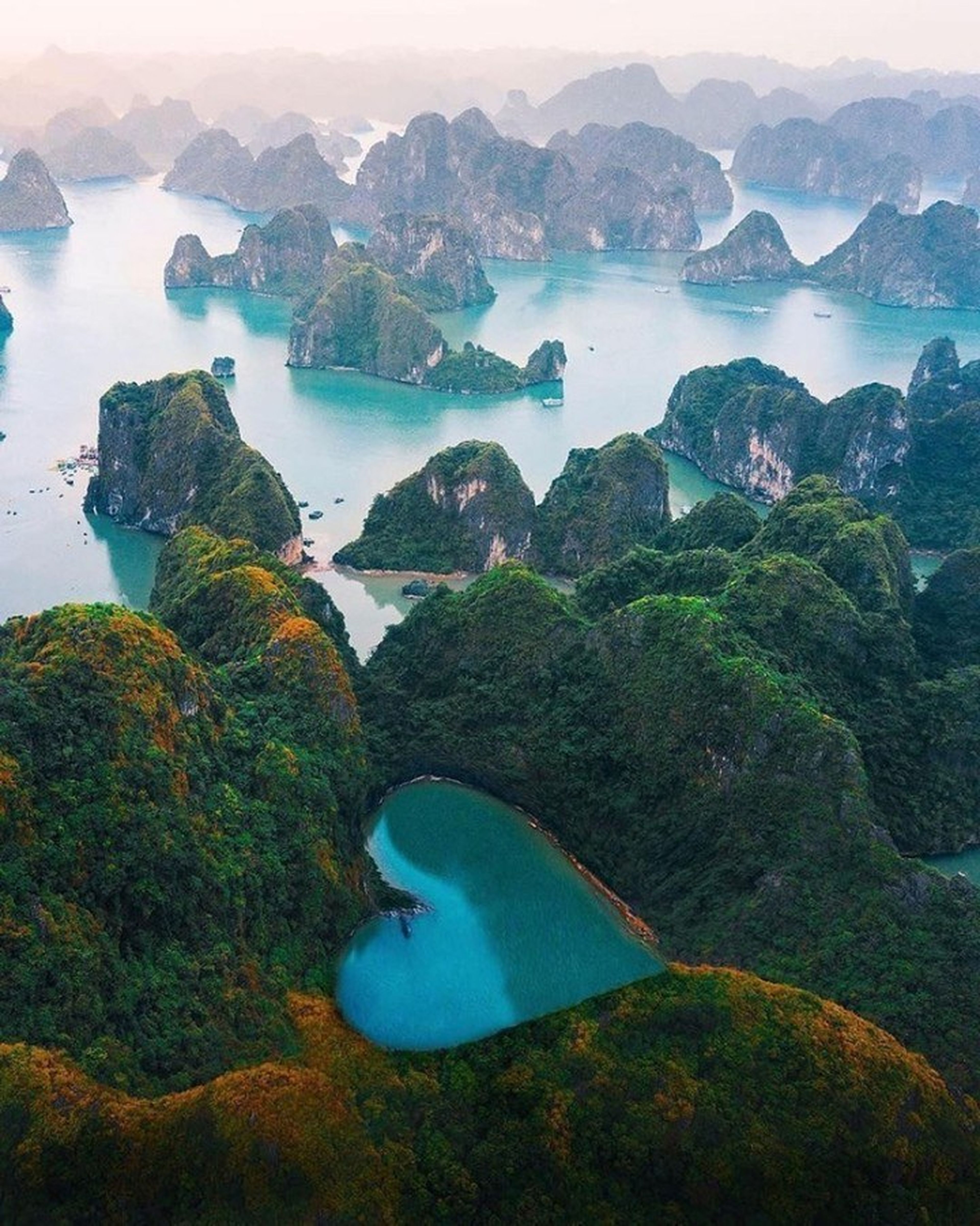
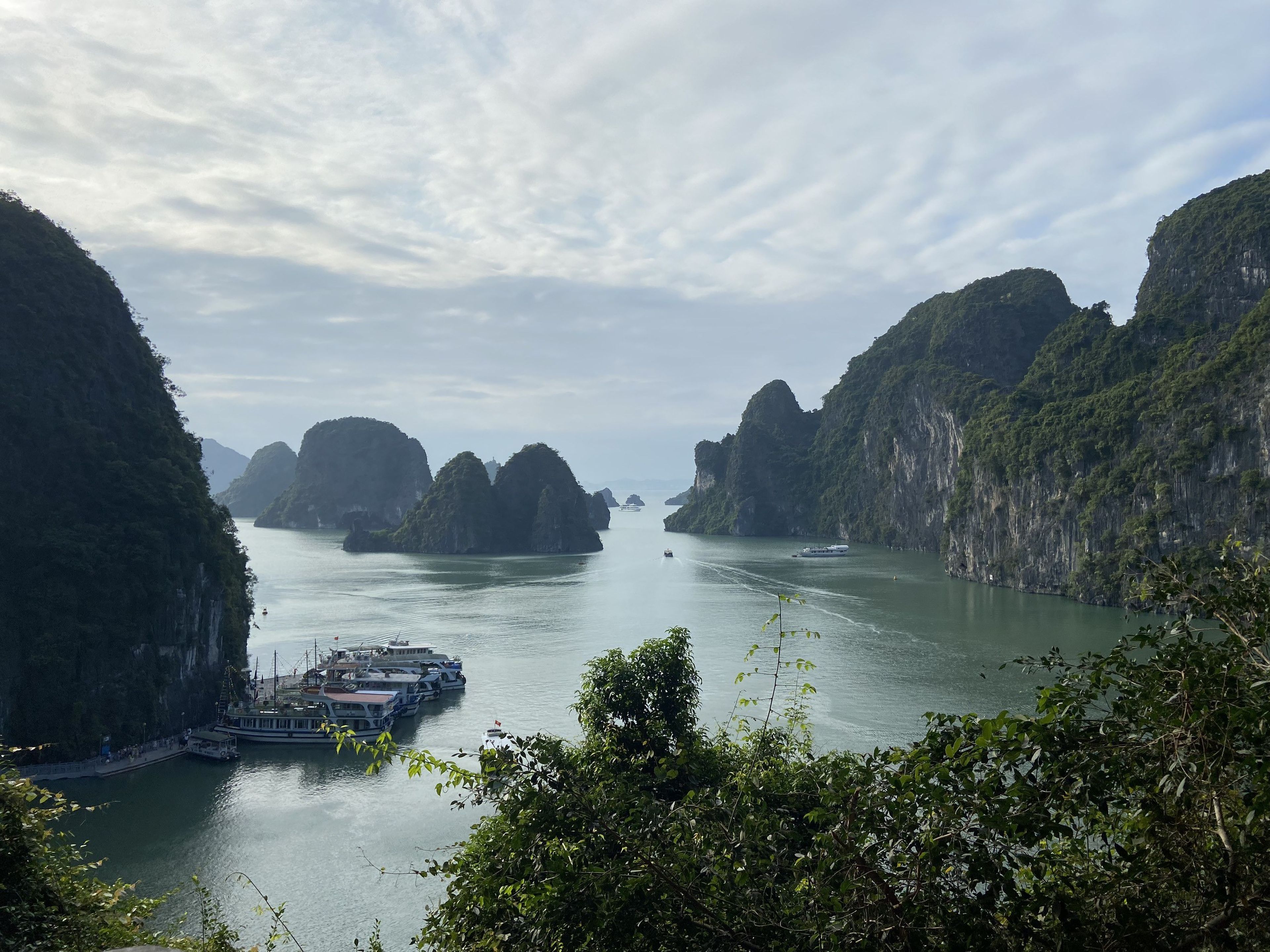
Photo: baoquangninh
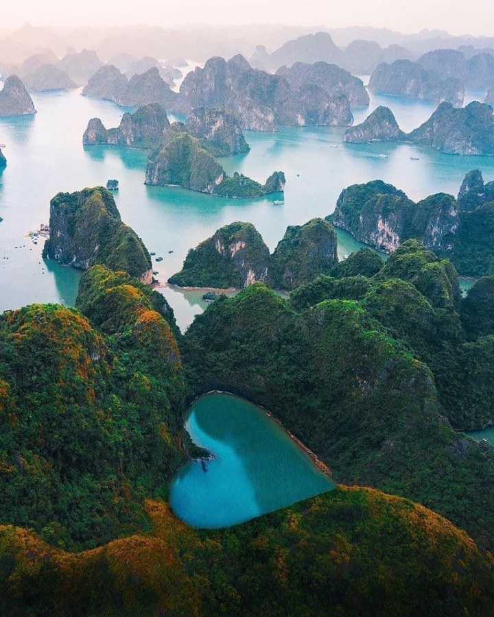
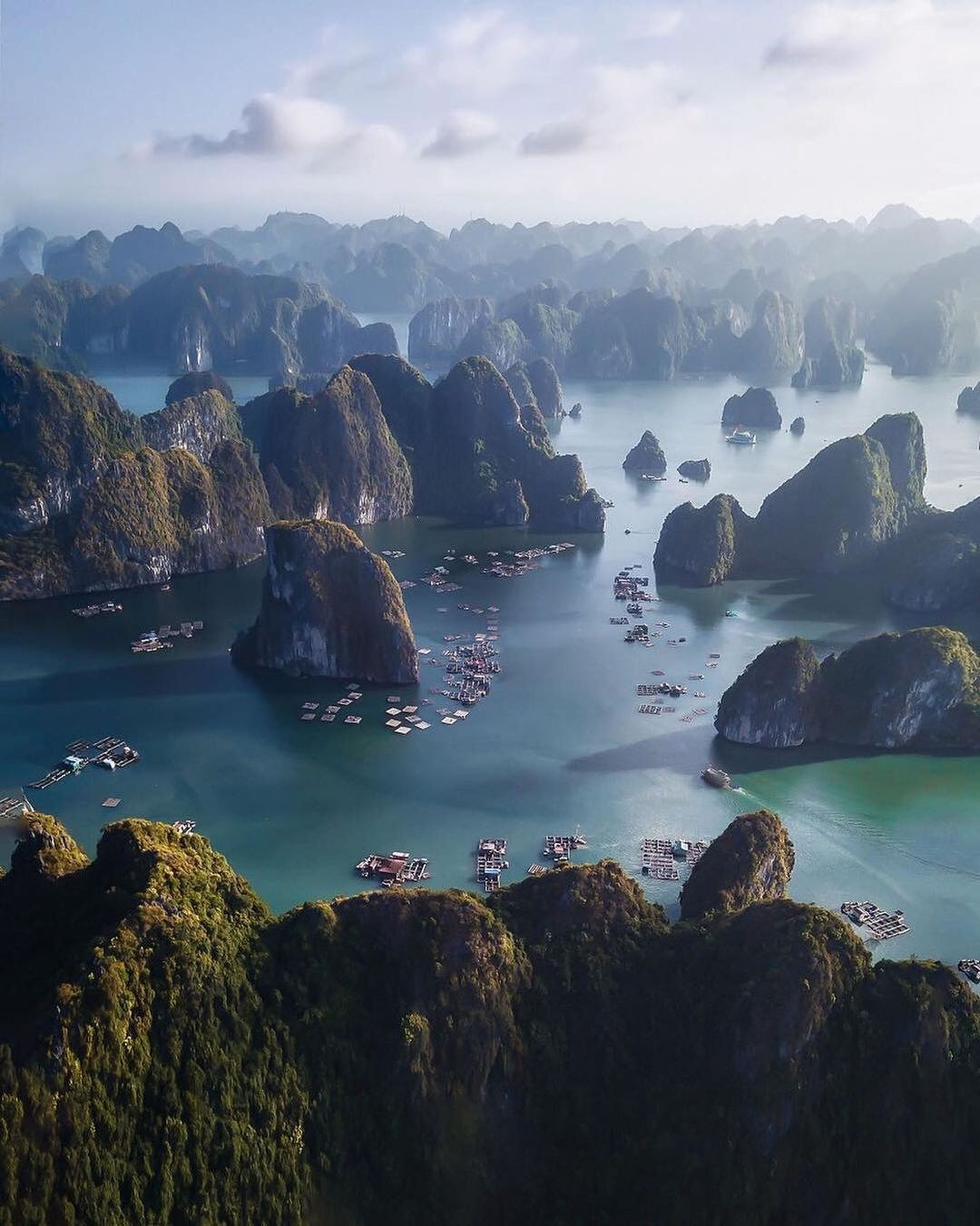
Photo: @canhdepvietnam_12
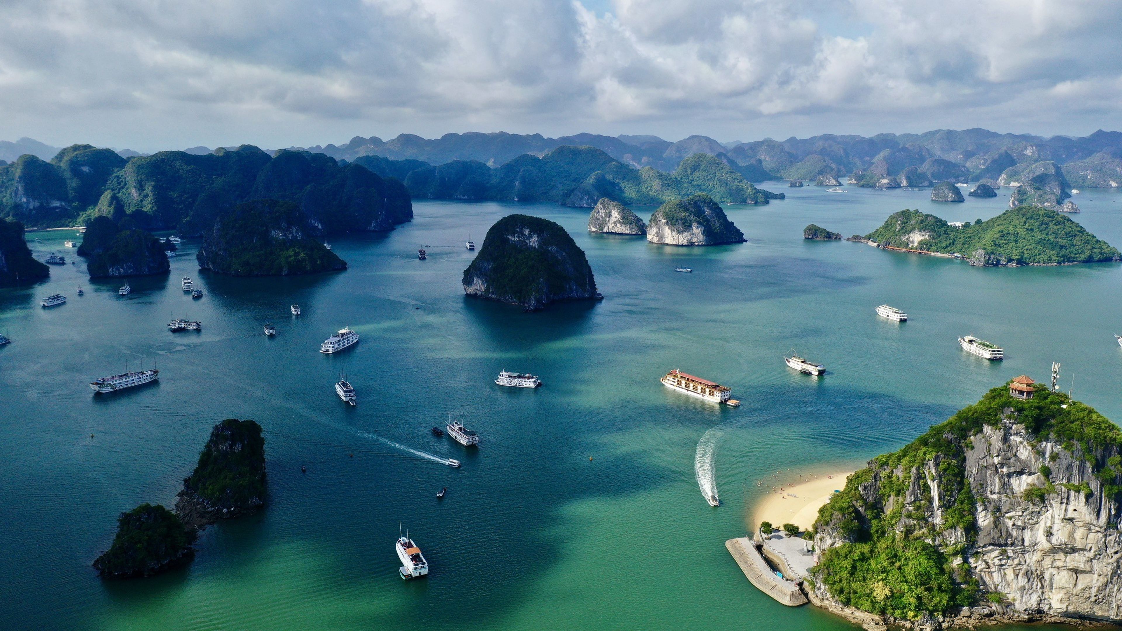
Ha Long Bay is a small bay located on the western coast of the Gulf of Tonkin in the East Sea region, encompassing the waters of Ha Long City. Ha Long Bay spans an area of approximately 1,553 km² with 1,969 large and small islands, mostly limestone islets, of which the core zone covers 335 km² with a dense concentration of 775 islands and a geological formation history dating back around 500 million years.
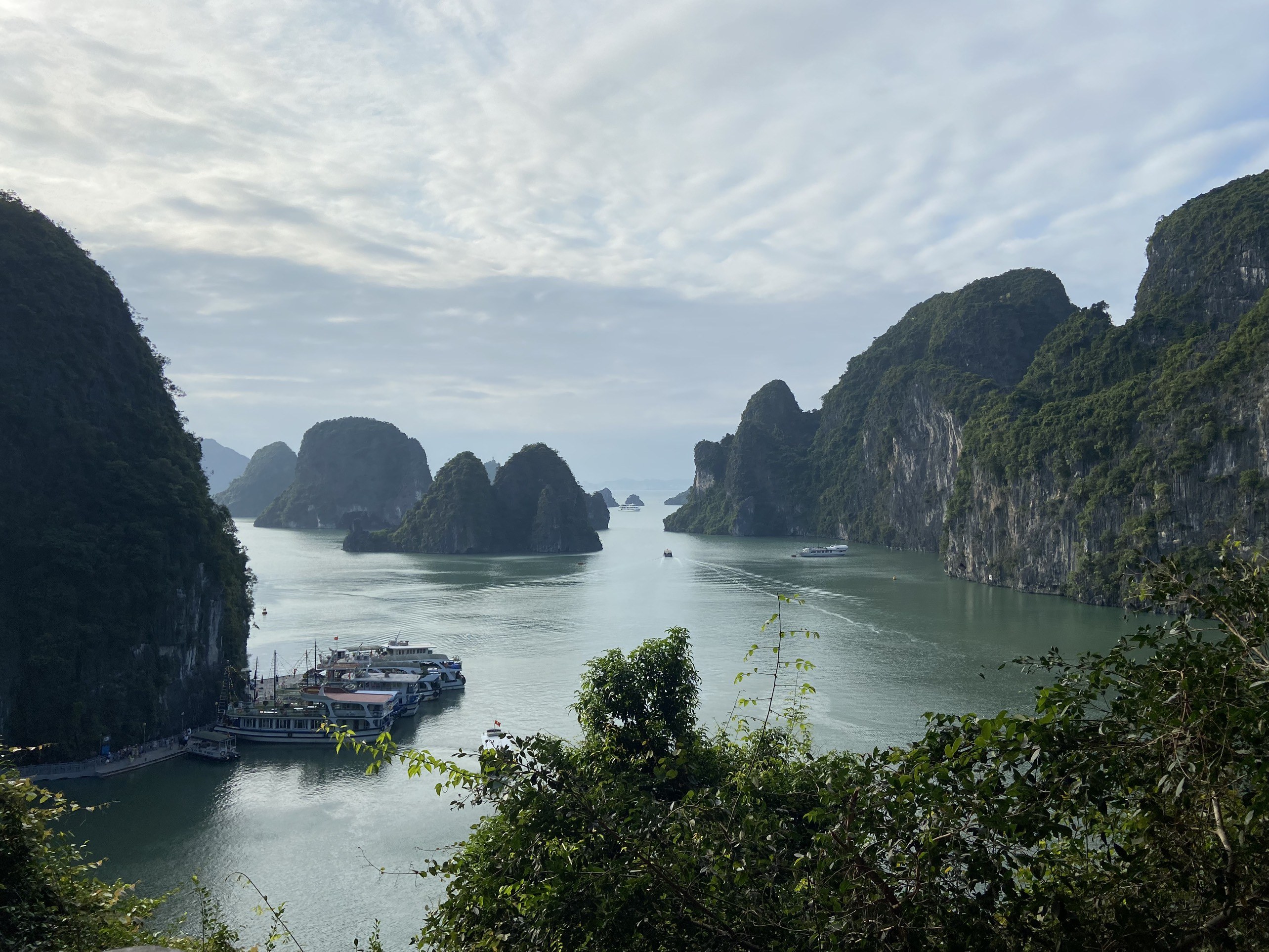
Ha Long Bay. Photo: @ng.ngoc.hanh
The internationally recognized heritage area of Ha Long Bay (the core zone) covers 434 km² and forms a triangle with three vertices: Dau Go Island (to the west), Ba Ham Lake (to the south), and Cong Tay Island (to the east), comprising 775 islands featuring numerous caves and beaches. The adjacent area (buffer zone) is a national scenic monument classified by the Vietnamese Ministry of Culture and Information since 1962. Ha Long's topography consists of islands and mountains interspersed with marine depressions, saline lands where mangroves grow, and sheer limestone cliffs that create contrasting beauties, harmoniously blending mountains, sea, and sky.
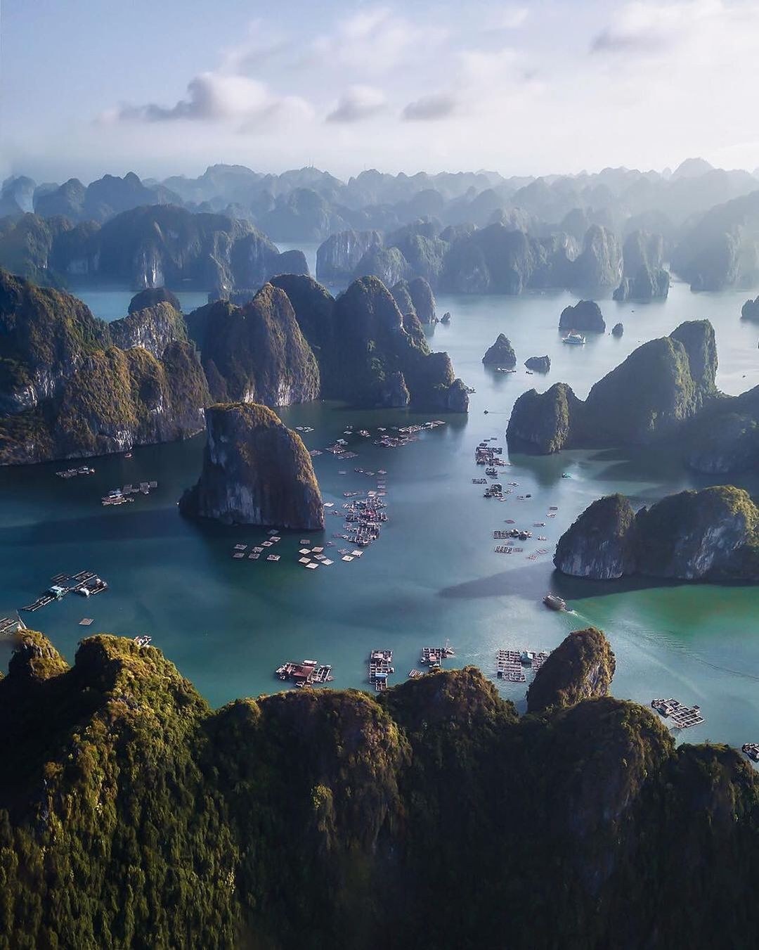
The islands in Ha Long Bay come in two types: limestone islands and schist islands. These islands are the result of repeated tectonic uplift and subsidence from continental land into marine basins, each boasting a unique, one-of-a-kind shape shaped by weathering and erosion. Locals have named these islands based on their shapes or folk legends. Below are several renowned, beautiful islands that are frequently included on tour itineraries.
Tuan Chau Island
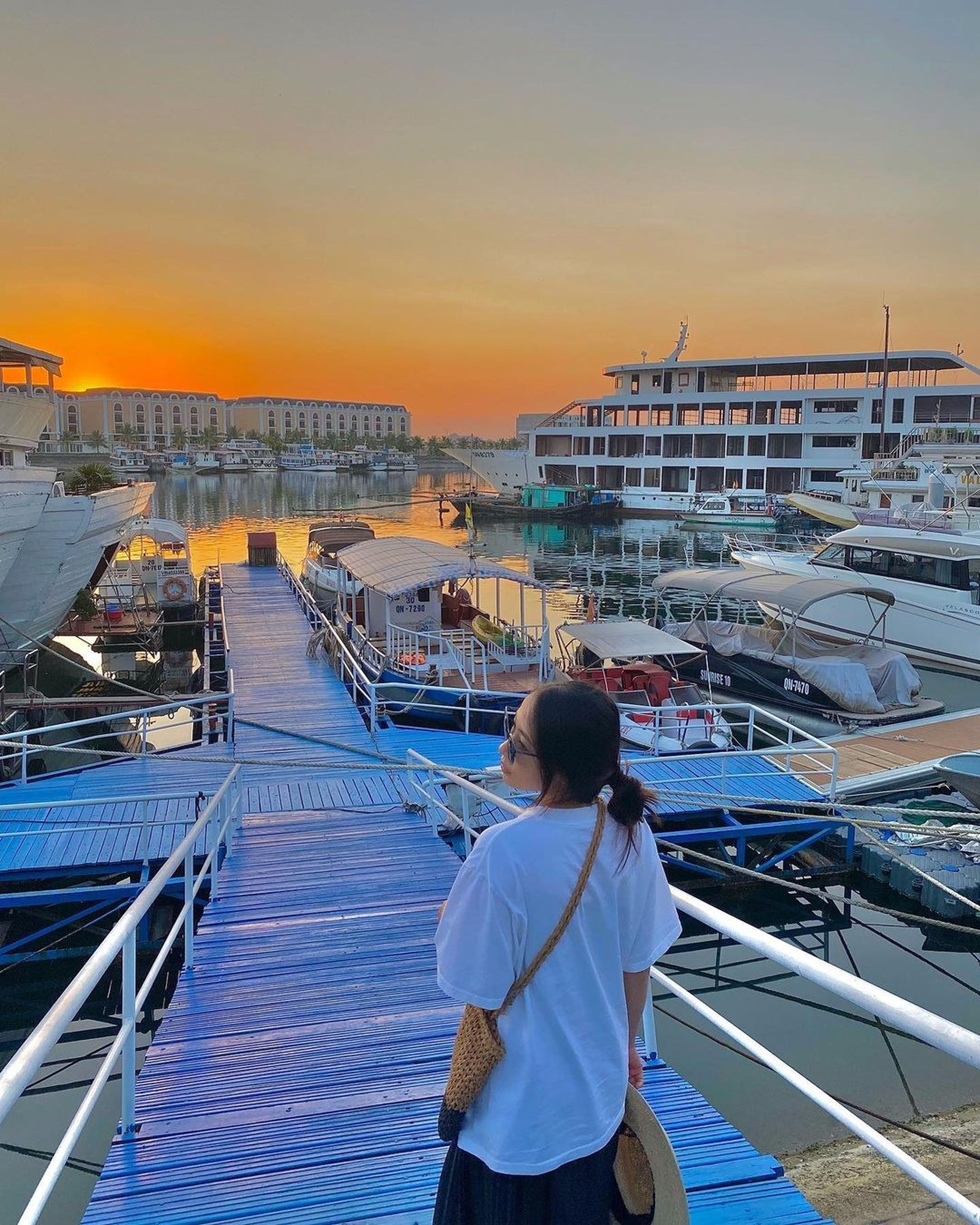
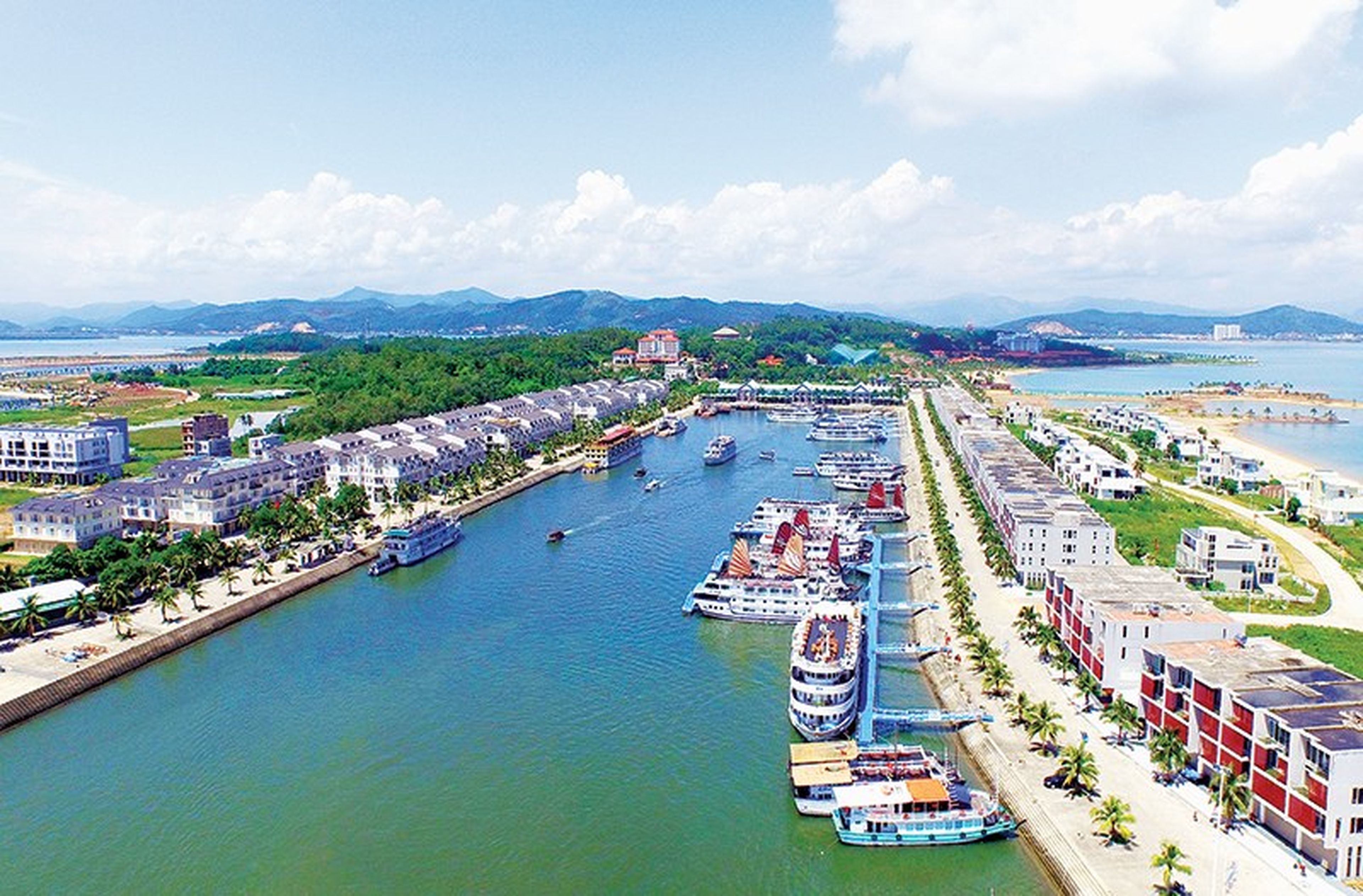
Tuan Chau Island is an inshore earthen island with villages and local residents. In 2001, a bridge connecting the island to the mainland was constructed, enabling the island to thrive more than ever before. An entertainment and recreation complex, restaurants, hotels, and particularly the Tuan Chau International Passenger Port have been built, contributing significantly to the development of Ha Long tourism.
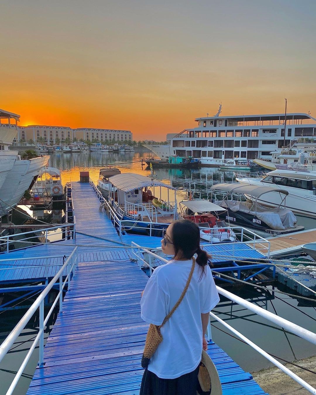
Tuan Chau Island International Port. Photo: @b.aobeii
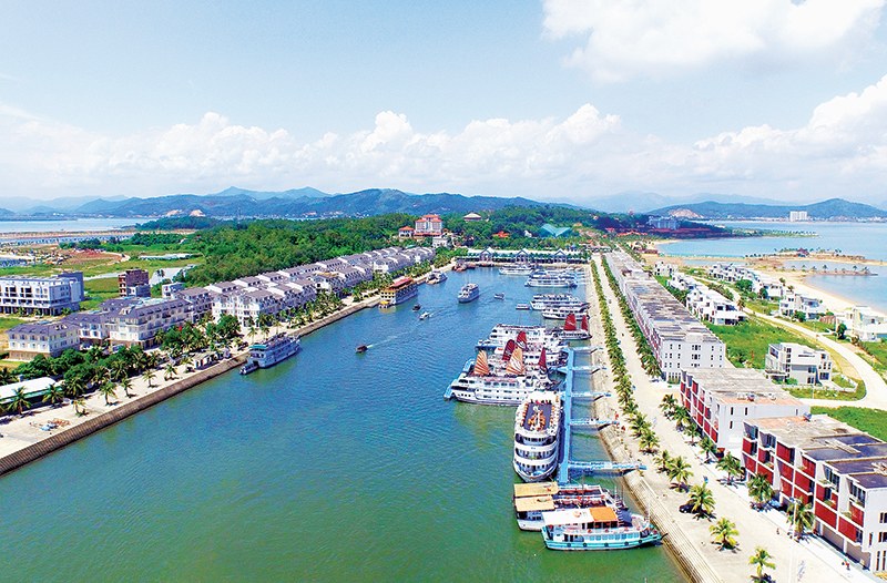
Tuan Chau Island – Ha Long. Photo: thuonghieuvietnoitieng
Ti Top Island
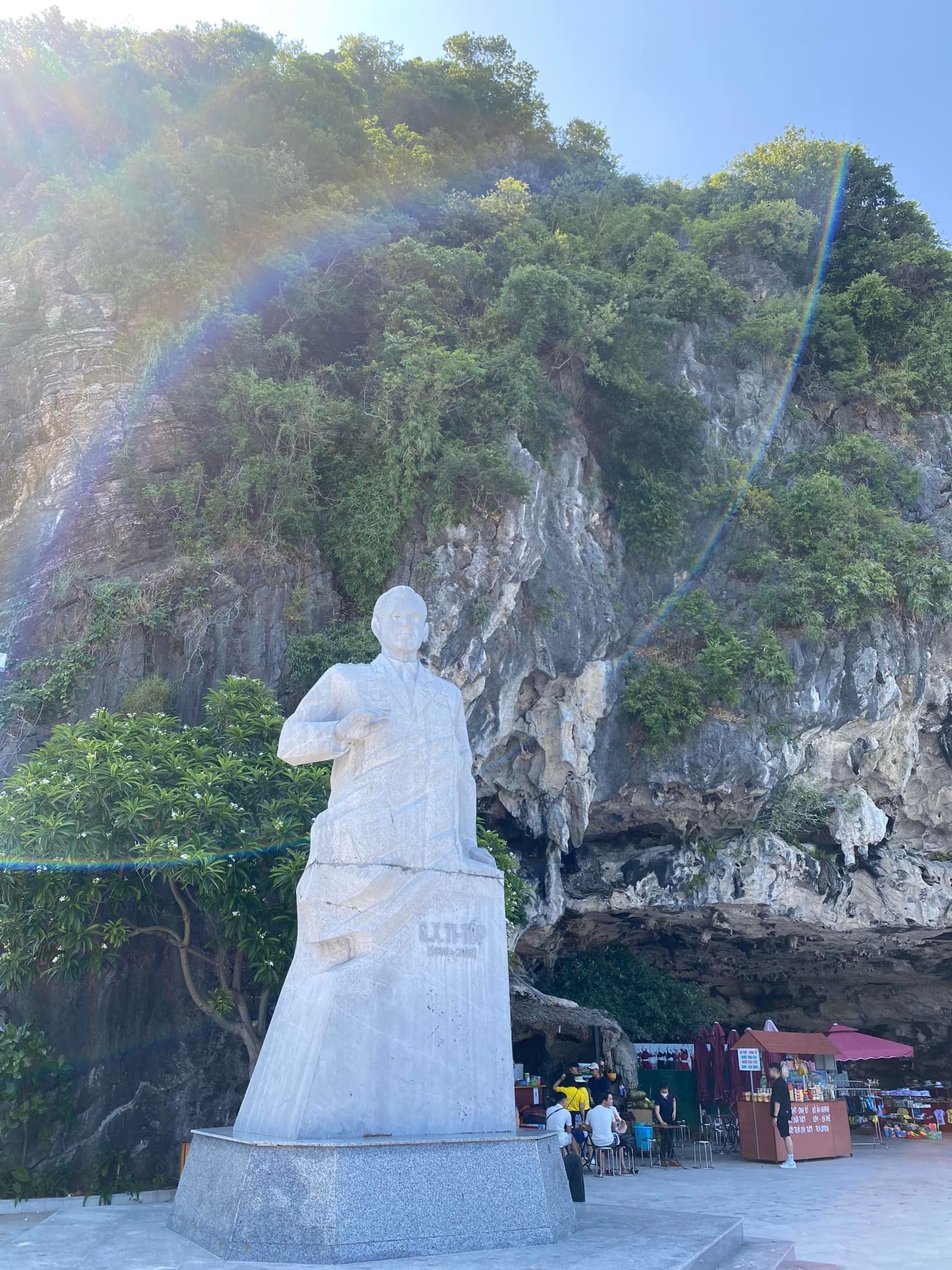
The island was named after the Russian cosmonaut Gherman Titov when he visited Ha Long Bay with President Ho Chi Minh in 1962. Today, a statue of Mr. Titov has been erected on the island in his memory.
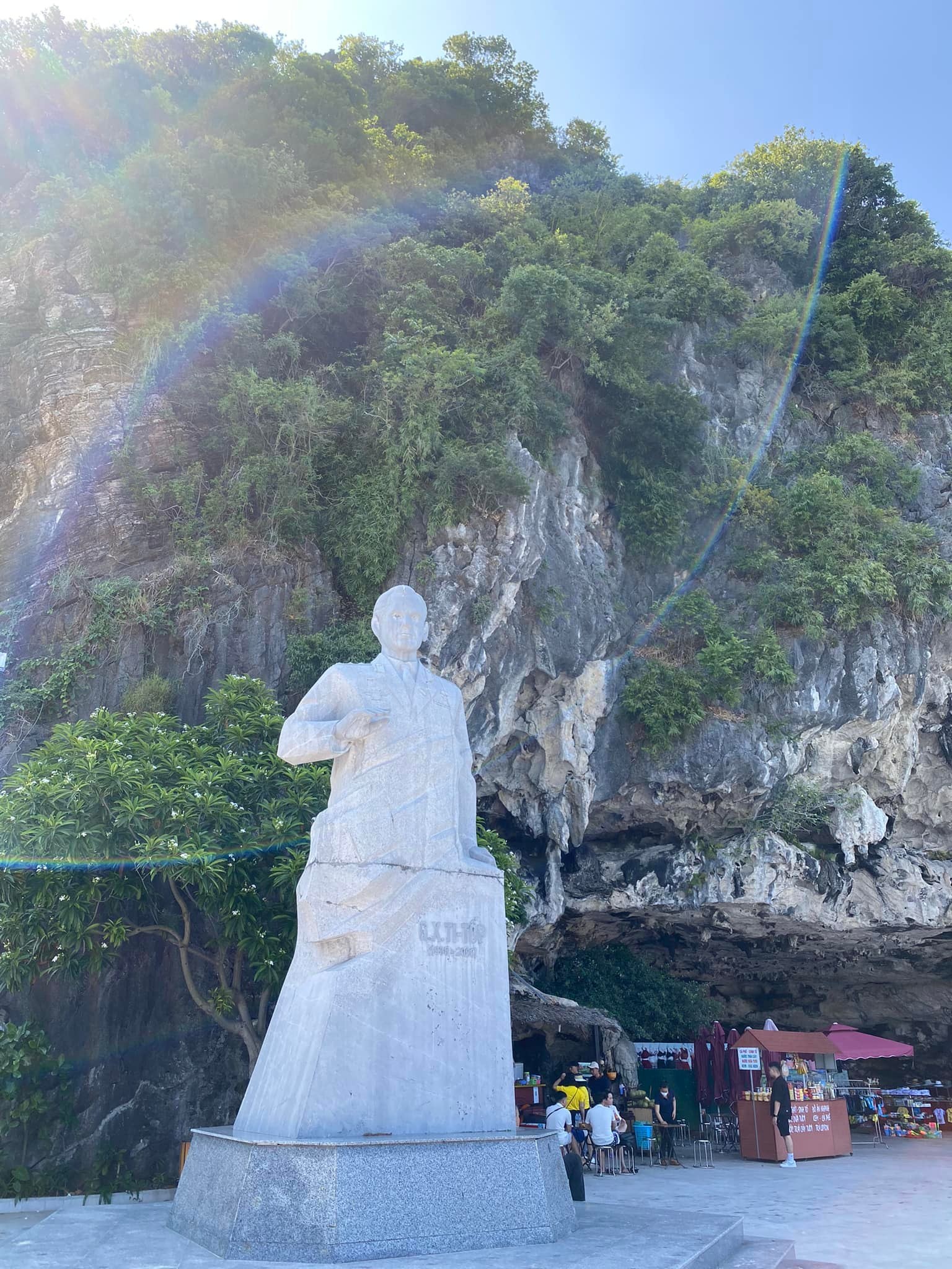
Statue of Ti Top on the island. Photo: @ng.ngoc.hanh
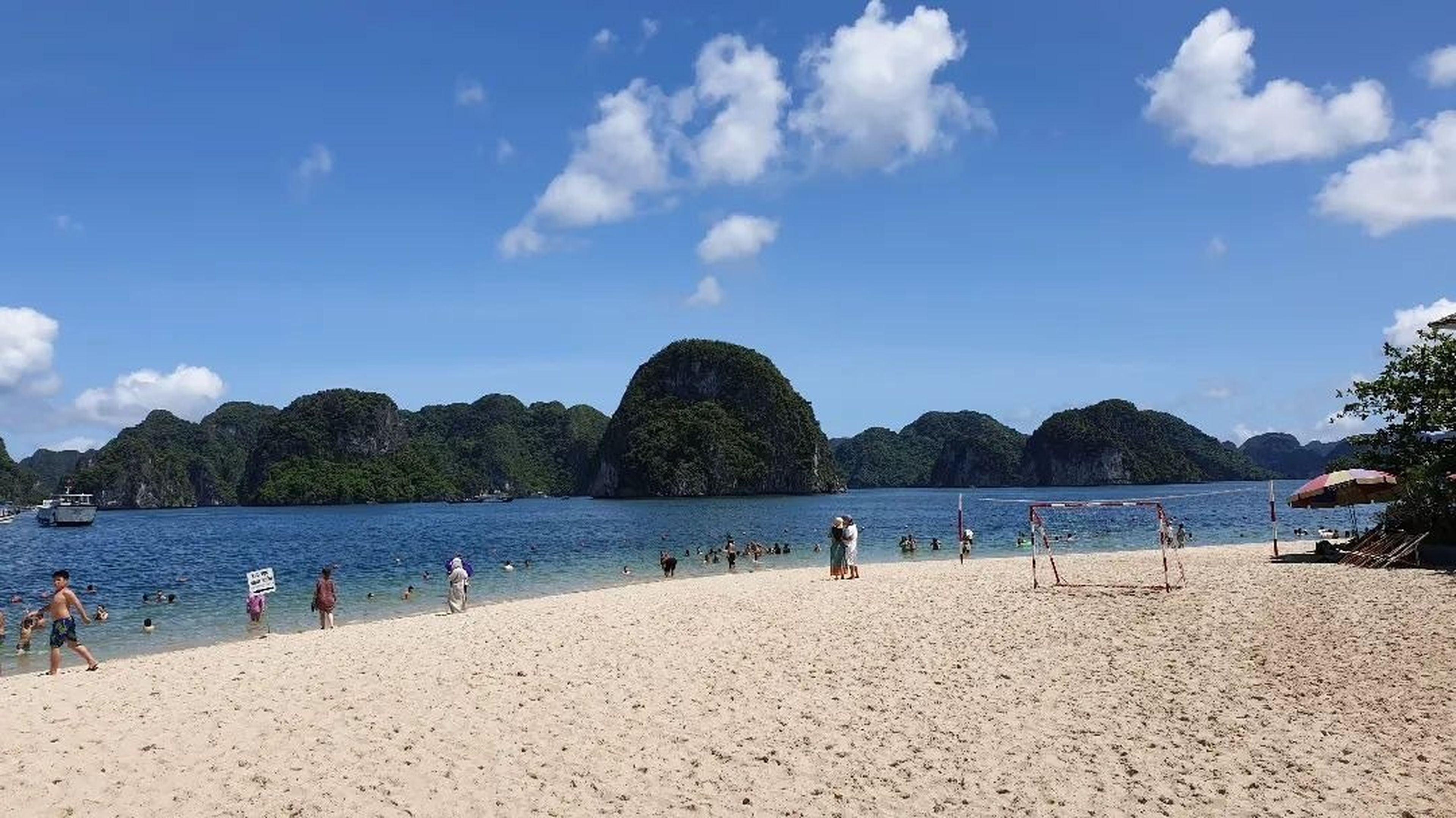
Ti Top Island features steep slopes and a flat, crescent-shaped white sand beach. Upon visiting the island, travelers can climb to the summit to admire stunning panoramic views of the surroundings or swim and enjoy various beach activities in the crystal-clear emerald water.
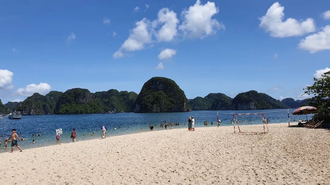
Ti Top Island Beach. Photo: @lzx_aini
Dinh Huong Islet (Incense Burner Islet)
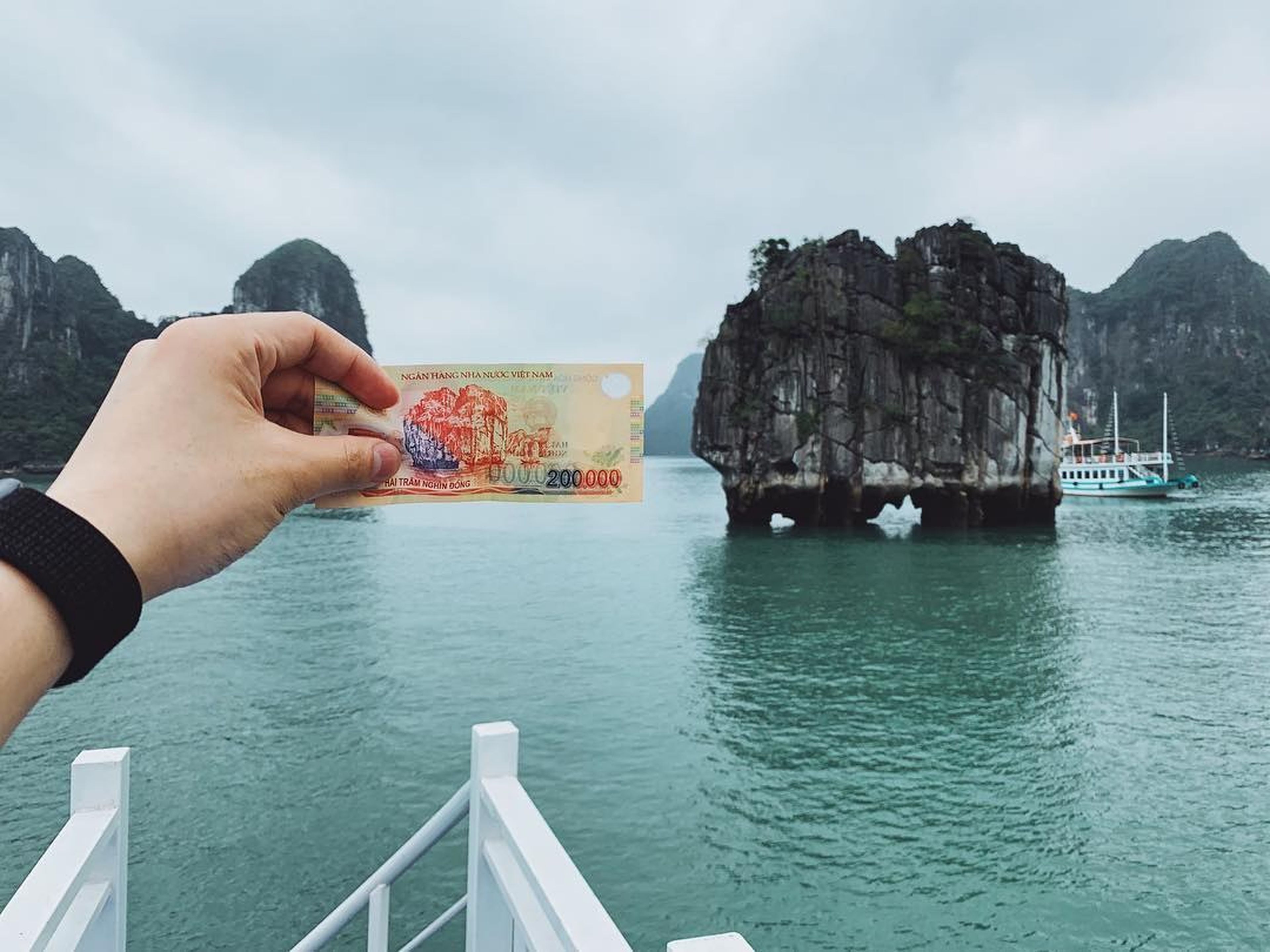
Also known as Lu Huong Peak due to its resemblance to a giant incense burner rising from the sea, Dinh Huong Islet is regarded by locals as a sacred rock. Its image will be very familiar to many, as it is featured on Vietnam's 200,000 VND banknote.
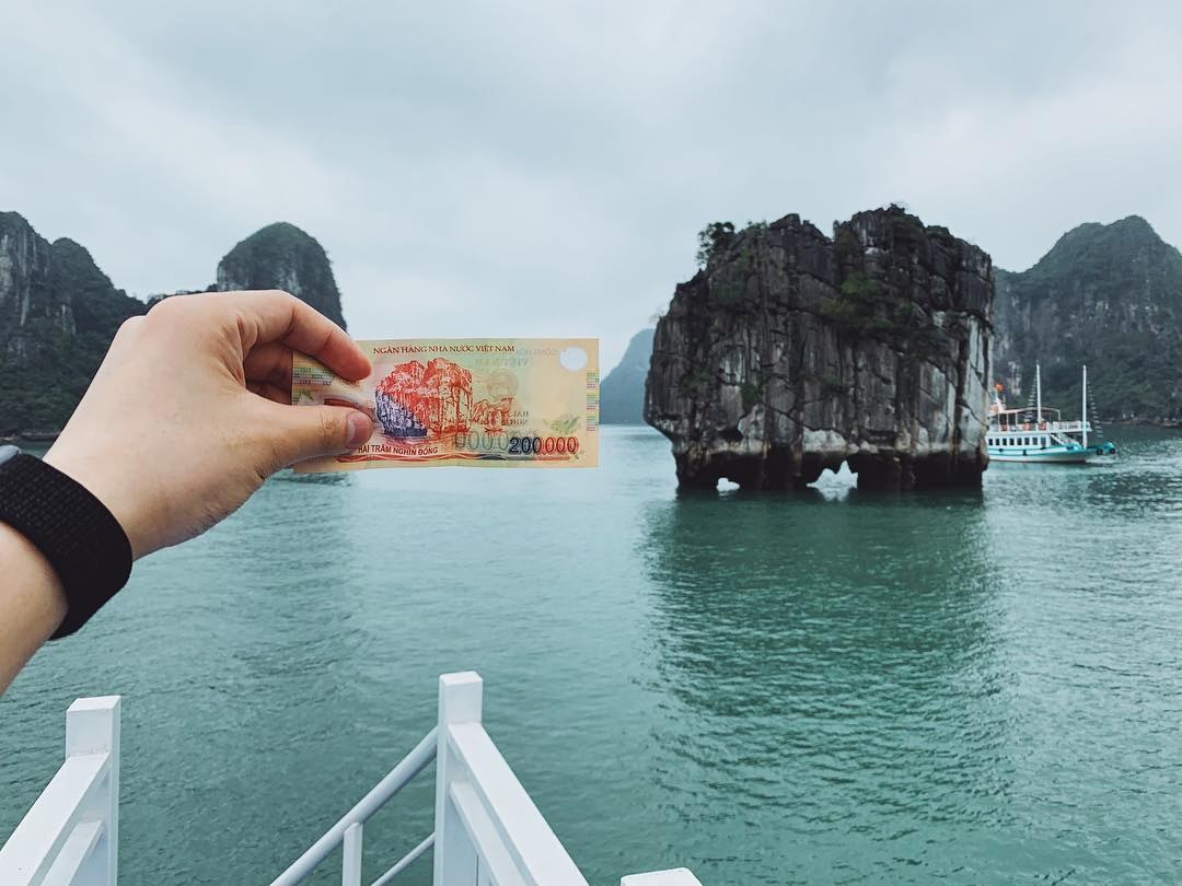
Dinh Huong Islet. Photo: @vieetjxt
Ga Choi Islet (Fighting Cocks Islet / Kissing Rocks)
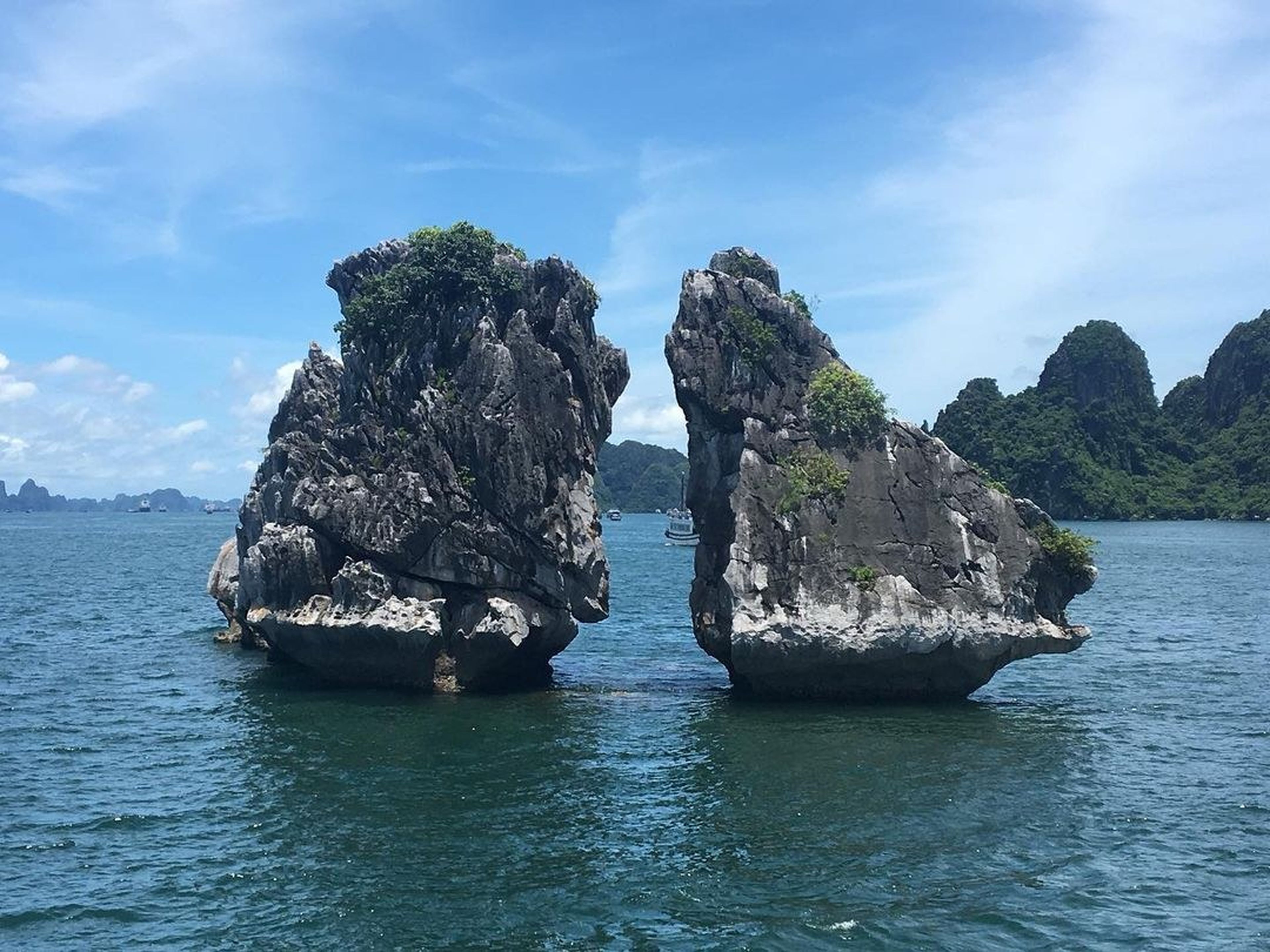
Commonly known as Trong Mai Islet, named for its shape that resembles a pair of roosters facing each other. Ga Choi Islet serves as an iconic symbol of Ha Long Bay and is featured on the official Ha Long Bay logo.
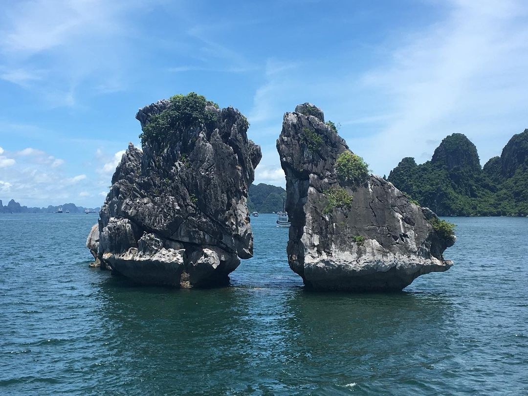
Trong Mai Islet. Photo: @scorpie.art
Con Coc Islet (Toad Islet)
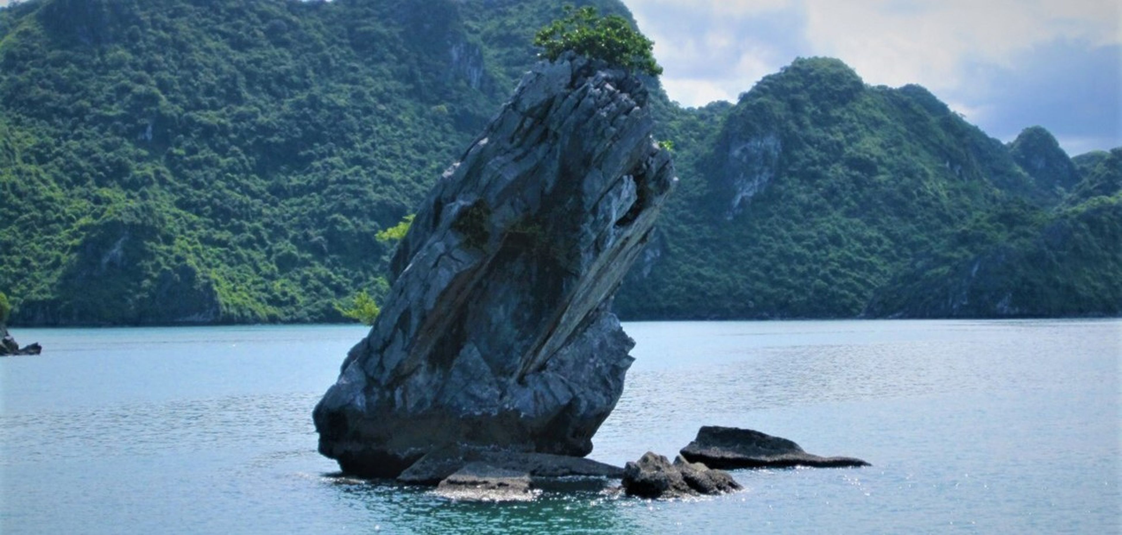
Located about 12 km from the Bai Chay tourist boat wharf, this islet is named Con Coc because, when viewed from an angle, it looks like a toad squatting amidst the vast waters.
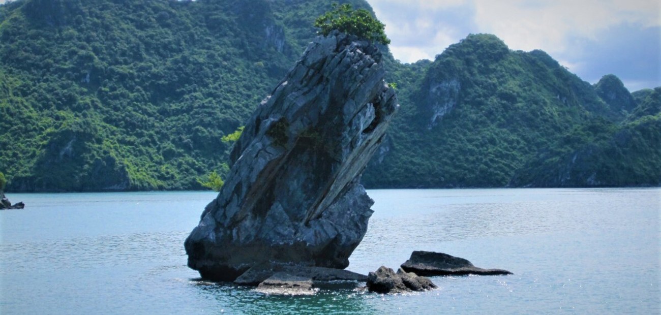
Con Coc Islet
Ngon Tay Islet (Finger Islet)
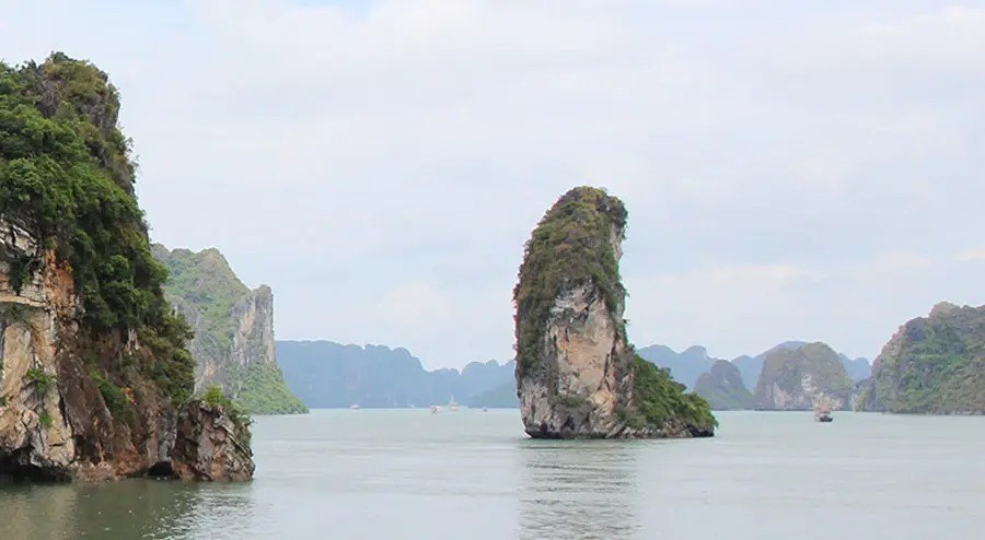
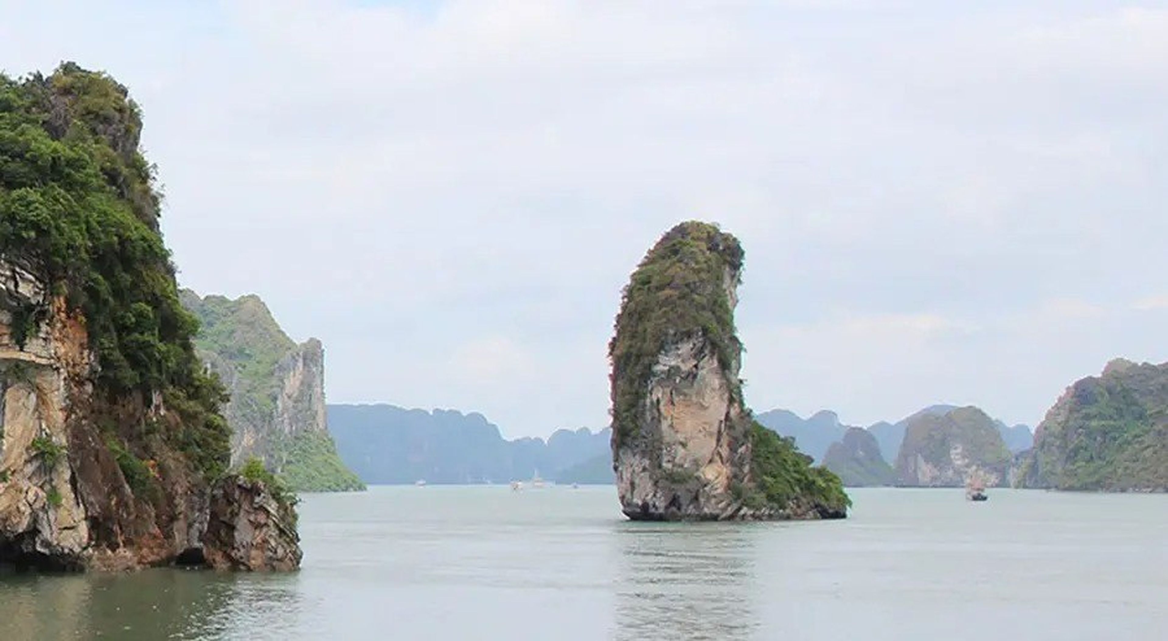
Situated on the way to Ti Top Island, Ngon Tay Islet is its popular local name, while its official name is Muoi Nam Islet. The rock formation looks like a giant thumb giving a "thumbs up," which is why locals affectionately call it Finger Islet.