Sa Vi Cape (Got Cape) is the starting point of the S-shaped outline on Vietnam’s map, located in Tra Co Ward, 13 km from central Mong Cai. It is the first place in northern Vietnam to see the sunlight and attracts many visitors.
Sa Vi Cape, a check-in spot at the nation’s frontier
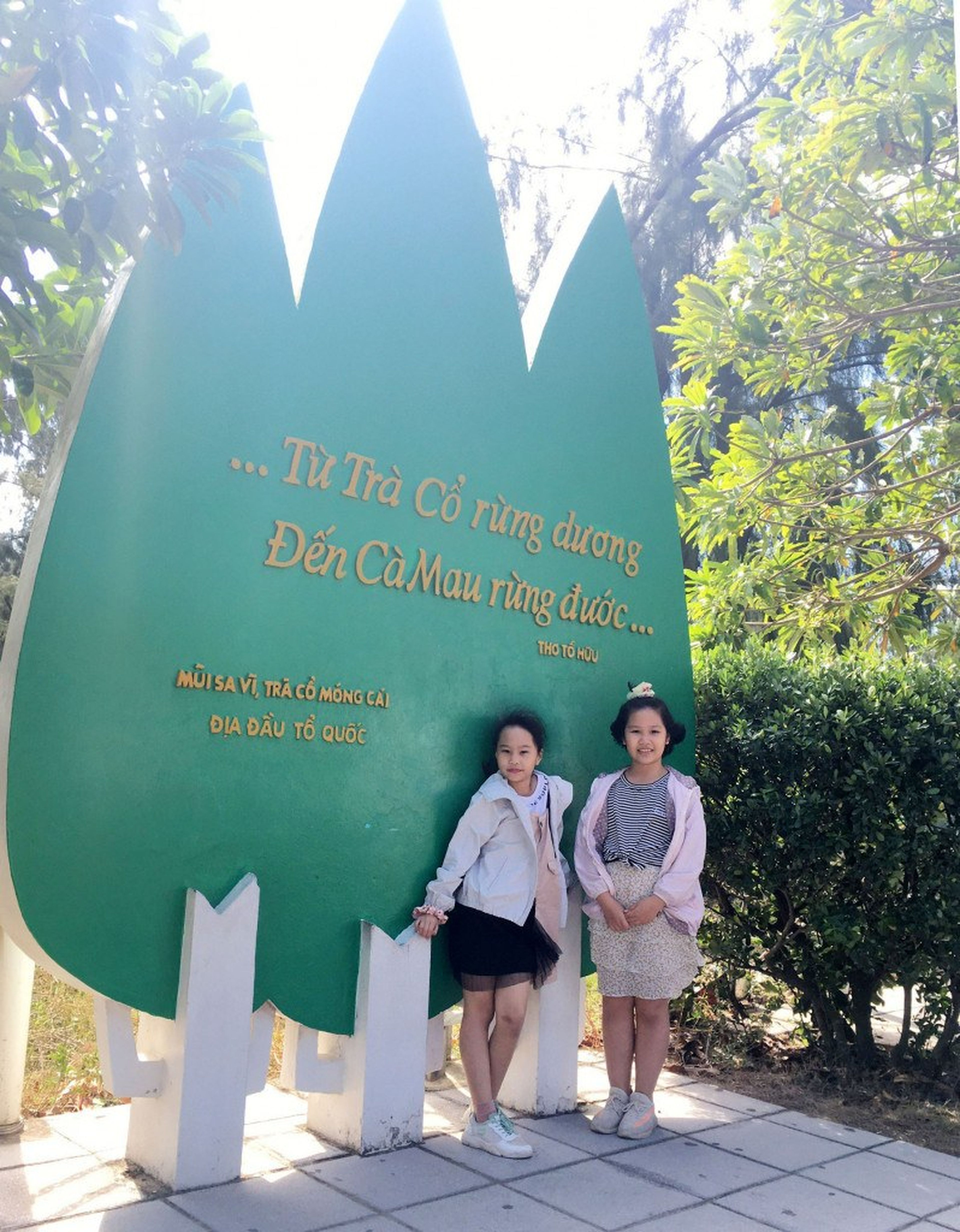
Sa Vi Cape marks the country’s northeasternmost frontier. Here stands a relief depicting three pine trees reaching straight toward the sky, engraved with lines from To Huu’s poem “How Joyful Today…”:
“…From Tra Co’s pine forest
To Ca Mau’s mangrove forest…”
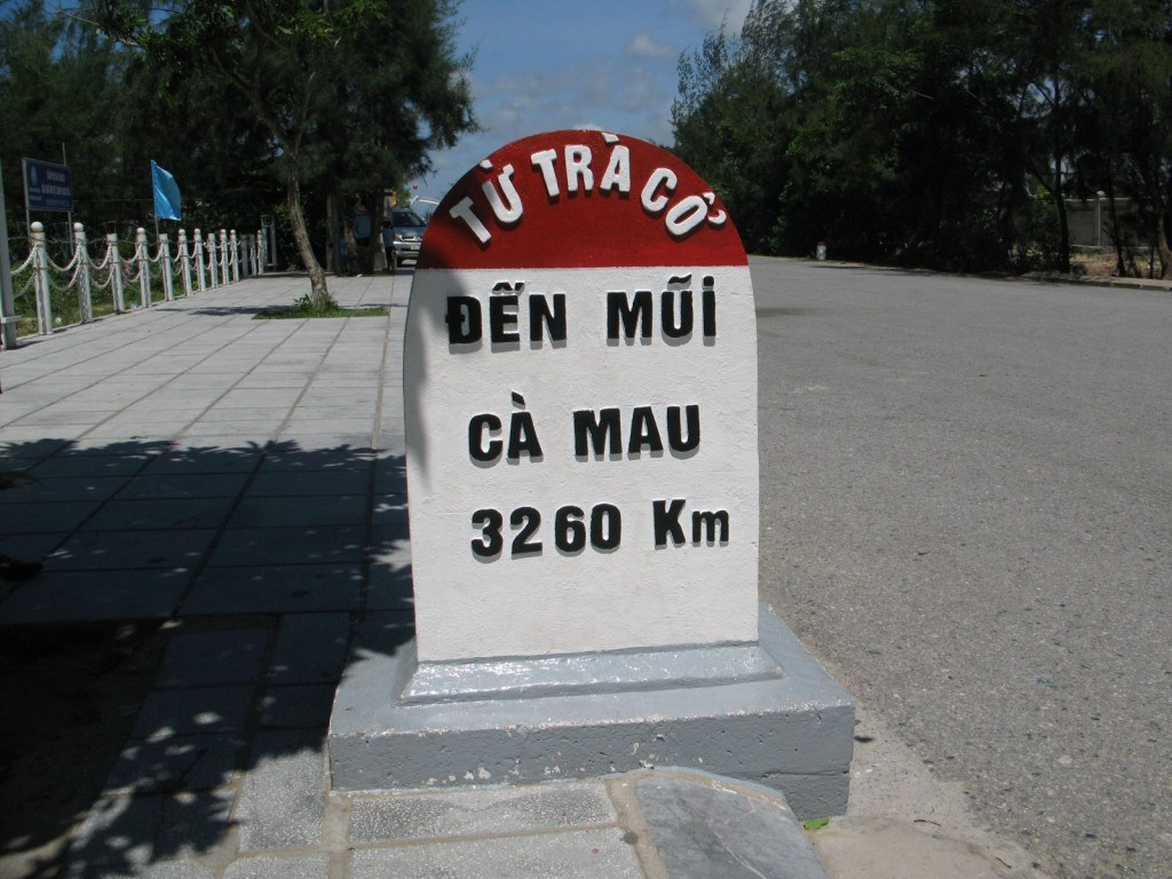
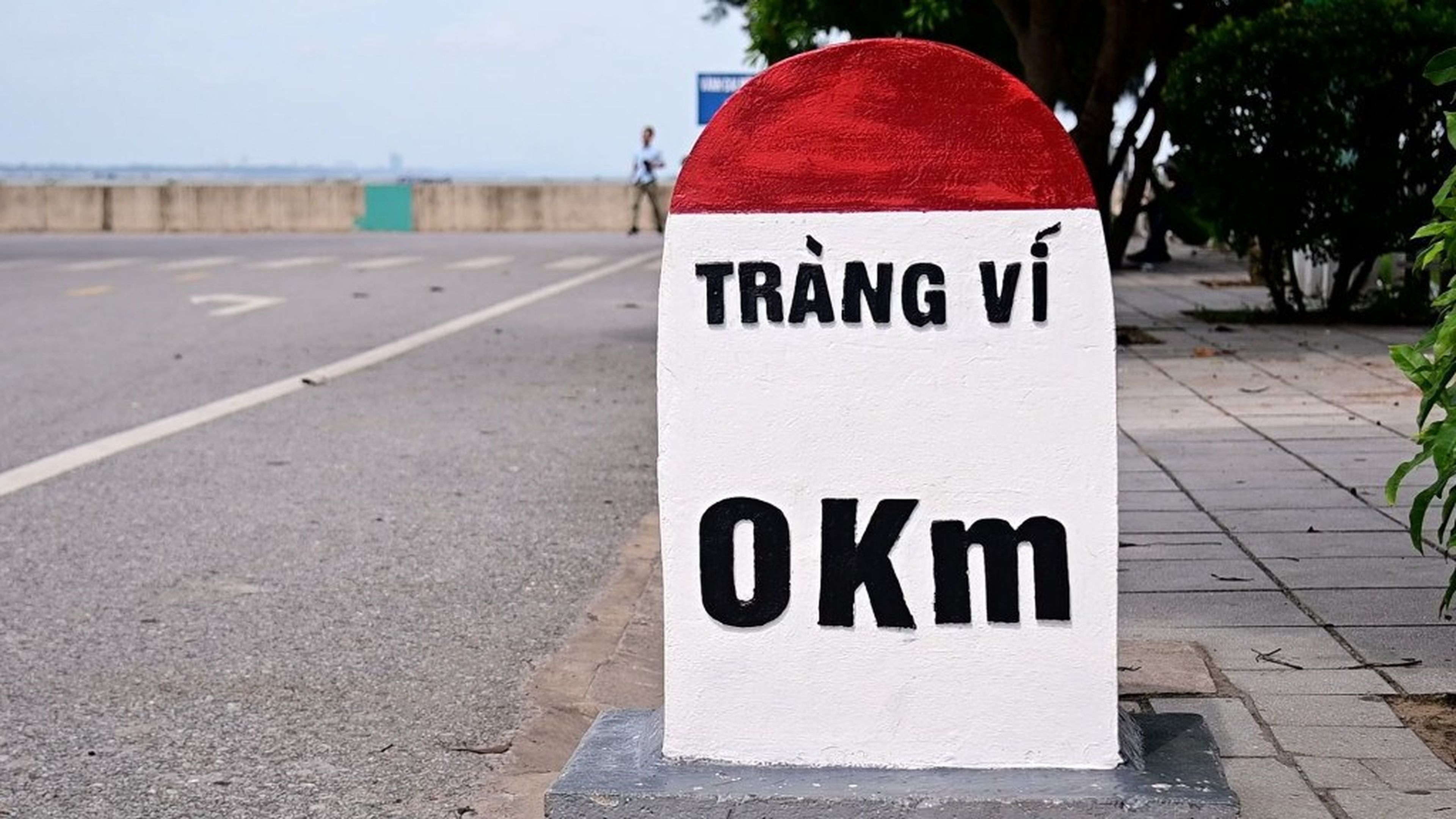
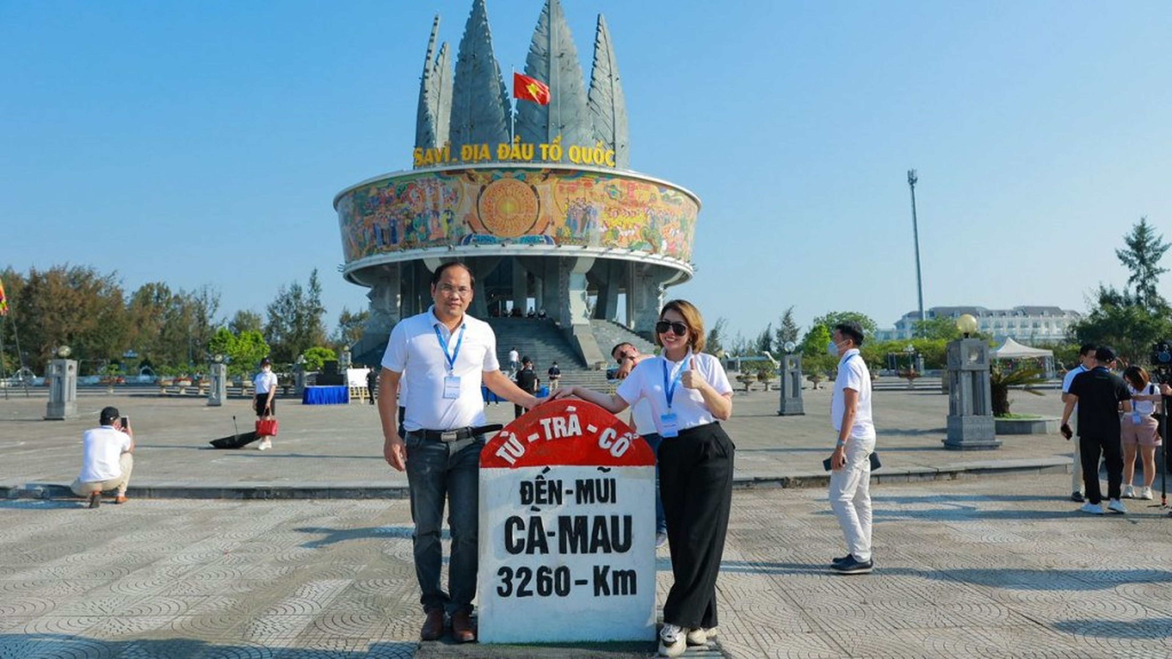
Just a few steps from the relief is kilometer zero, inscribed with information about the length of the country’s coastline: “From Tra Co to Ca Mau Cape: 3260 km.”
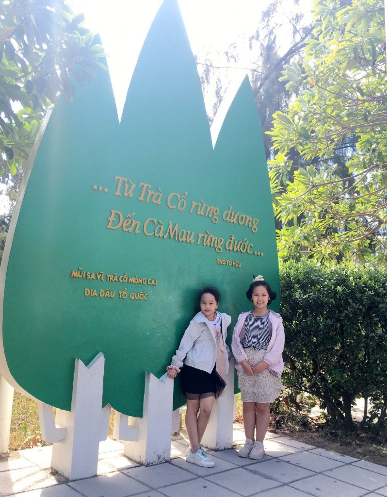
Photo: Quang Ninh Newspaper.
It is called Sa Vi because whenever the tide goes out, a long, winding sandbank emerges in this area, resembling a dragon’s tail. When the water rises, the place where the Vietnam–China border demarcation marker stands becomes a small island.
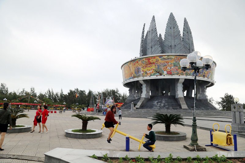
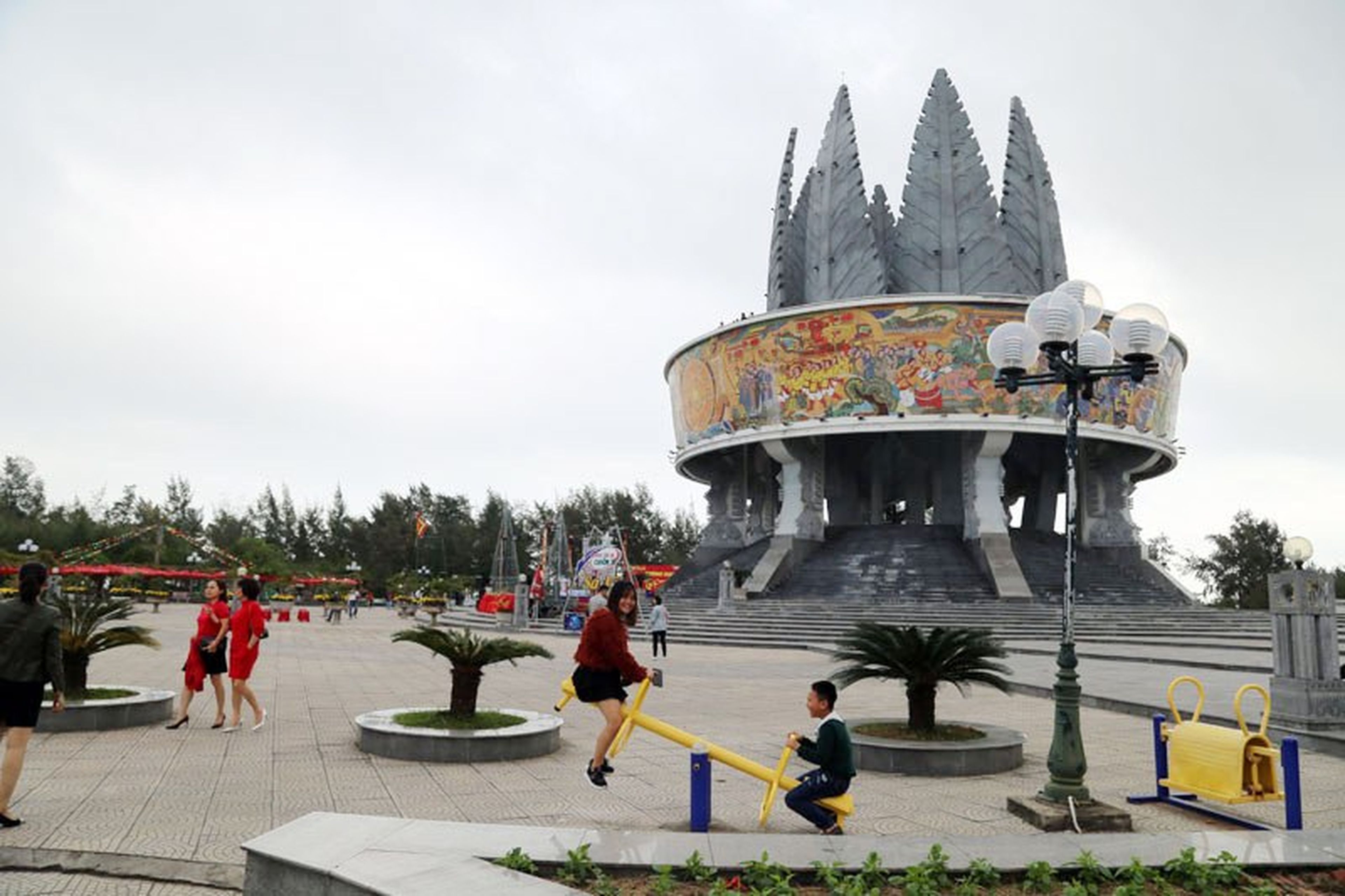
Enjoying the Sa Vi Cape square. Photo: Quang Ninh Newspaper.
To the north of Sa Vi Cape is the Bac Luan River estuary flowing into the sea, facing Dau Got Islet (1/3 of the islet belongs to Vietnam), opposite Chinese territory. Beside Sa Vi Cape is the Sa Vi Border Propaganda Information Complex, which began construction in 2009 and was completed in October 2013.
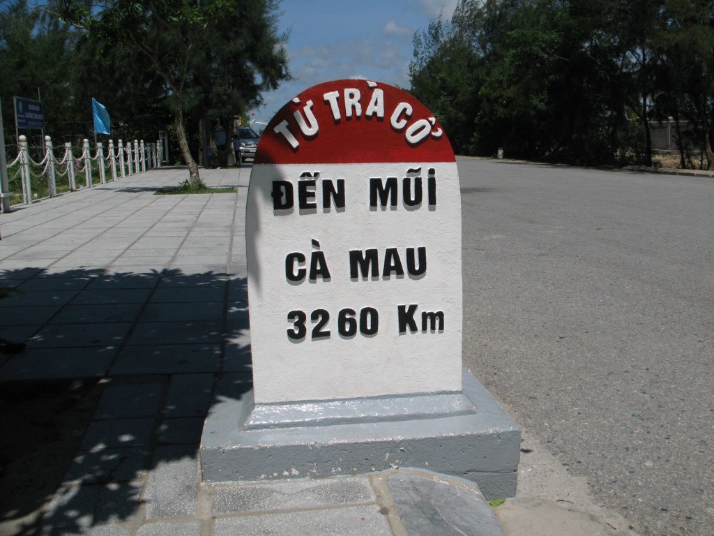
A special marker. Photo: VOV.
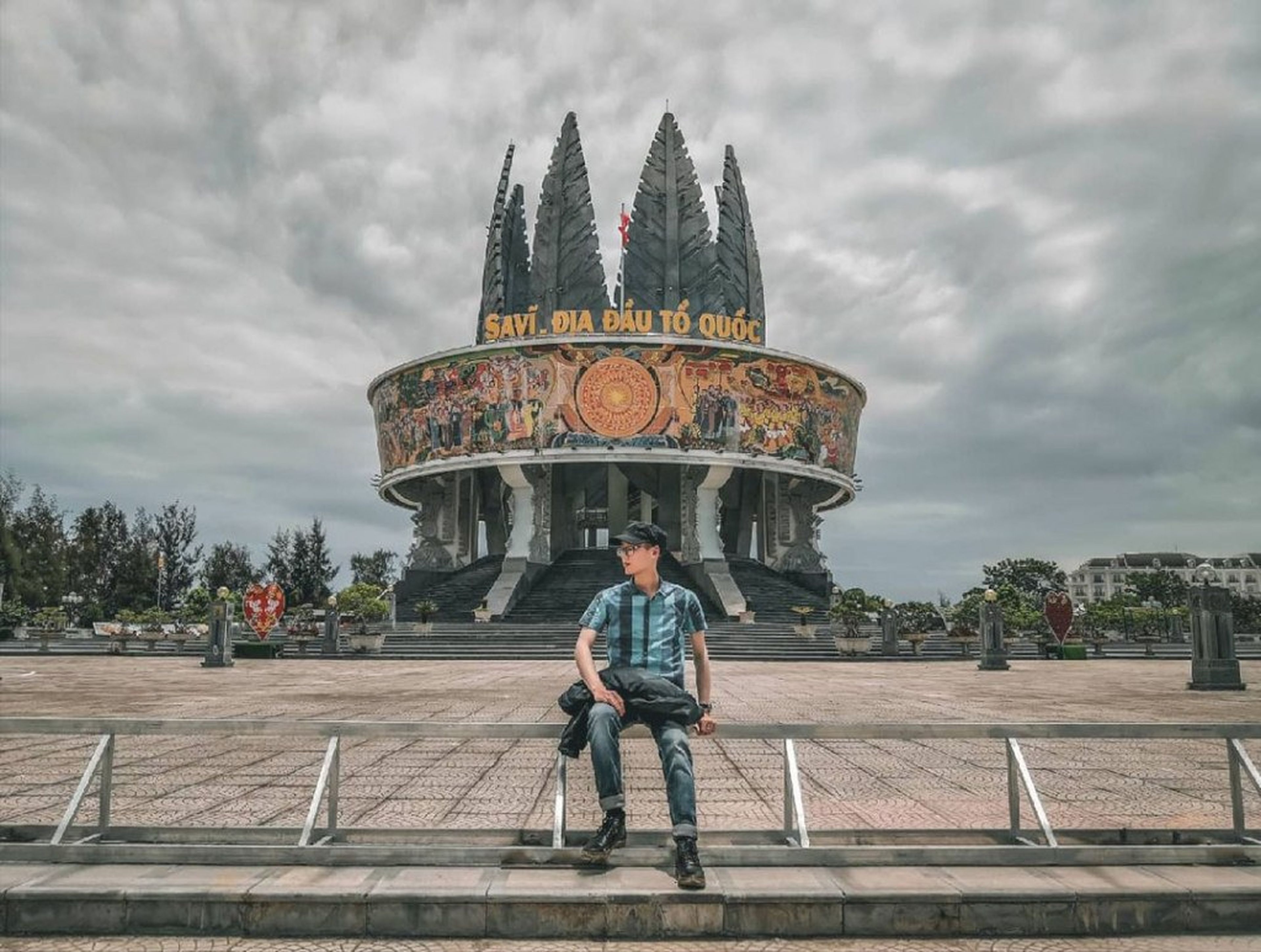
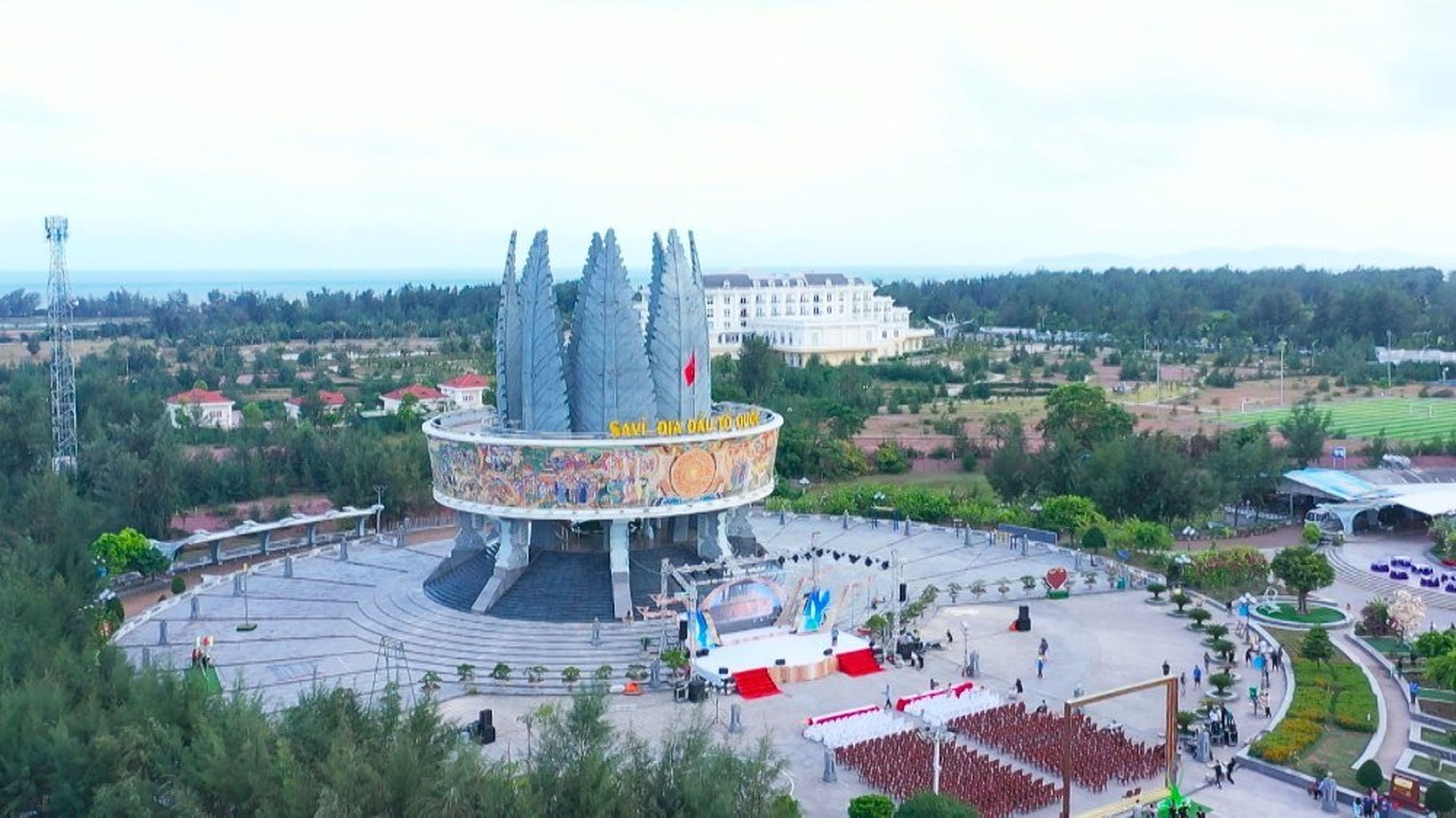
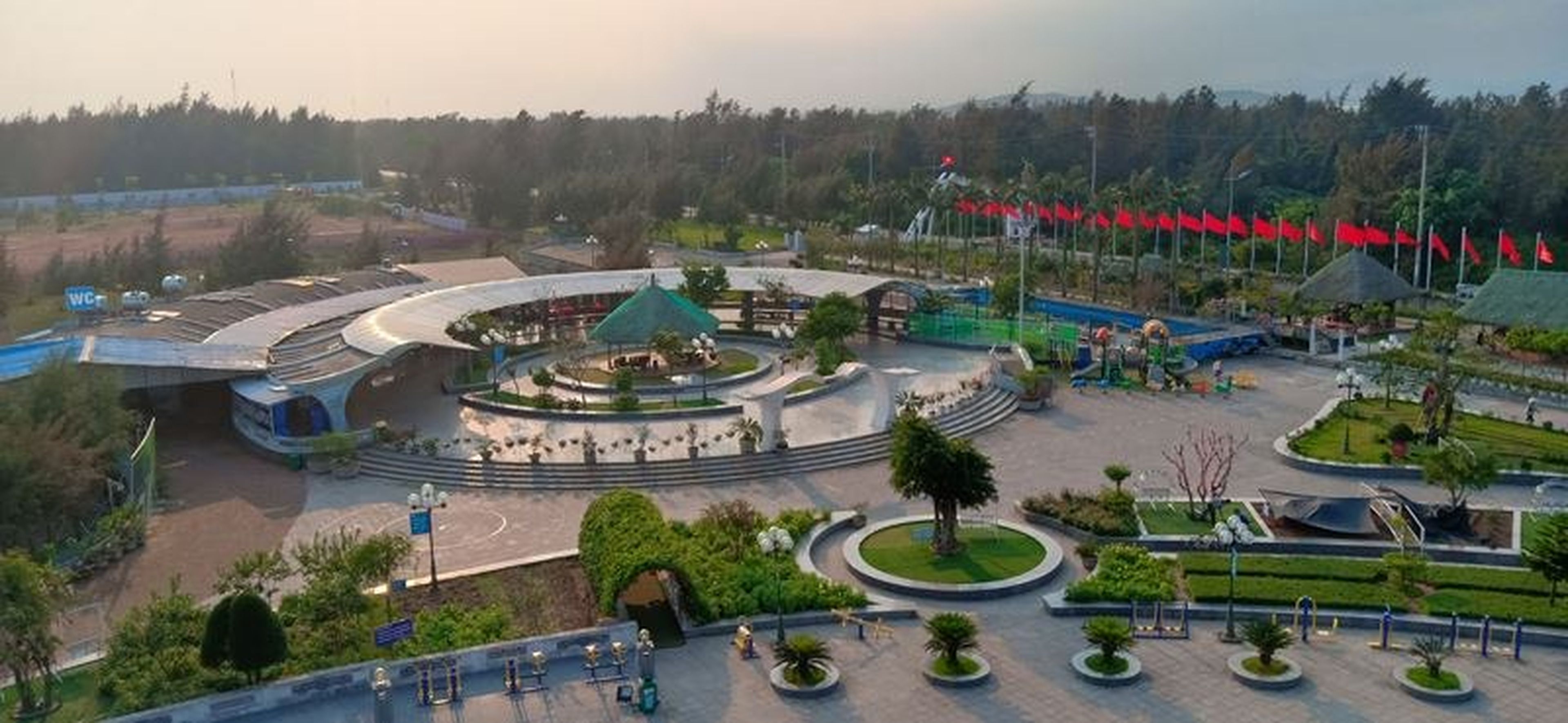
The complex consists of three sections: the square, the main structure complex, and the service building, forming a modern cultural architectural complex.
In front is the central square, with two rows of stone pillars made from natural stone from the former imperial capital of Hoa Lu. Arranged in a sturdy semicircle, they stand tall like soldiers protecting the nation’s borderlands.
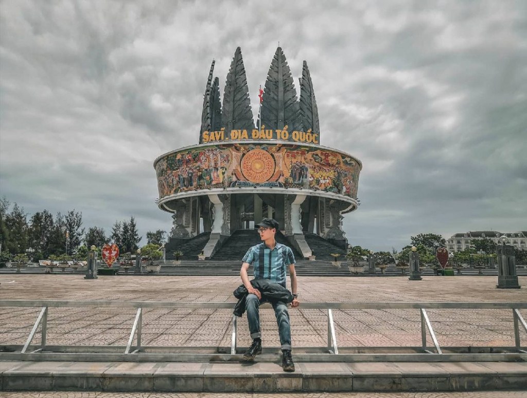
Photo: nguyenkhaitrung.
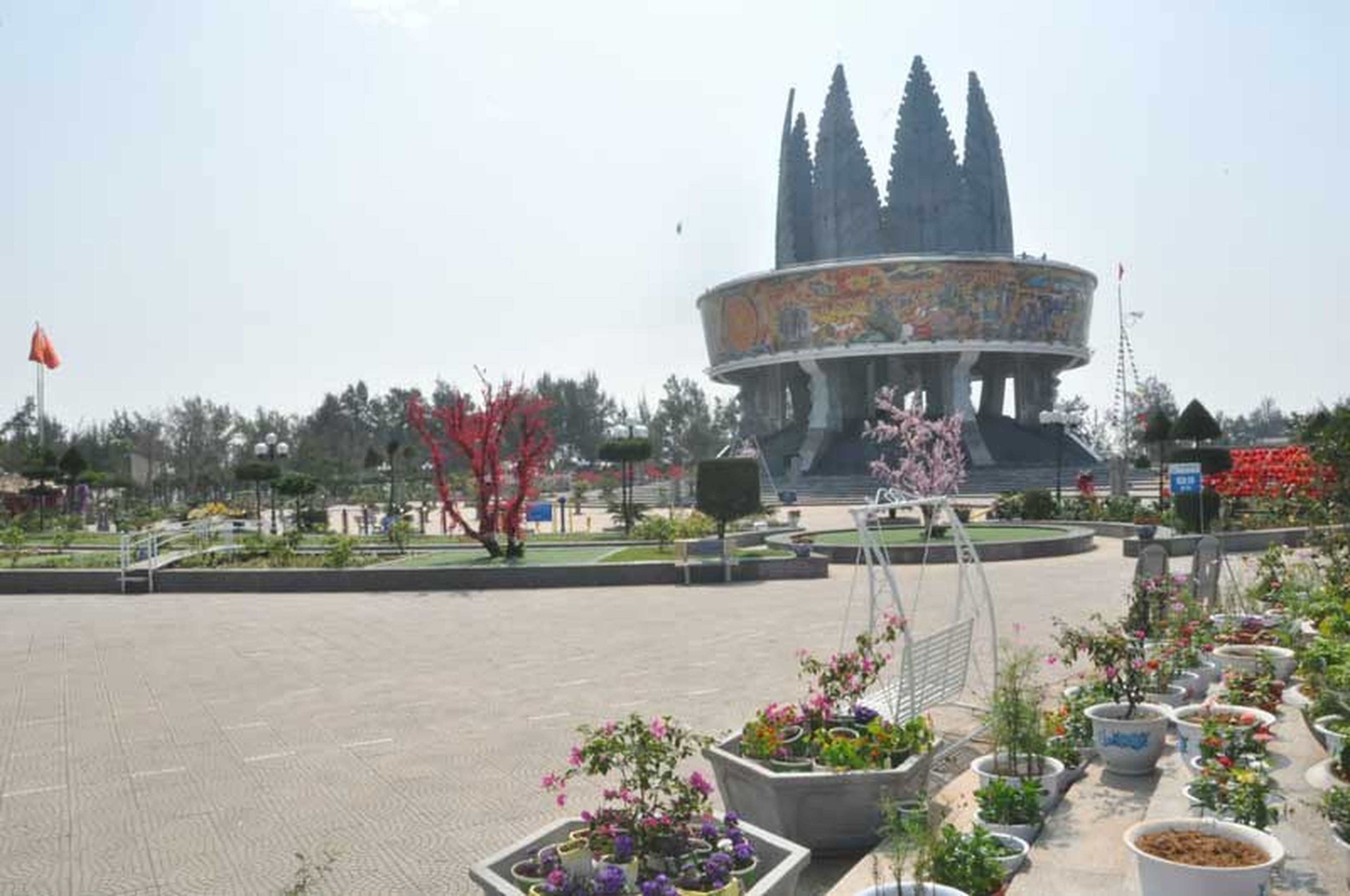
At the top of the main structure complex are eight pine trees soaring into the blue sky, standing 27 m high. They are cast from durable concrete and coated with a layer of zinc on the surface to withstand the effects of the weather. The patterns on the structure are inspired by Dong Son bronze drum motifs.
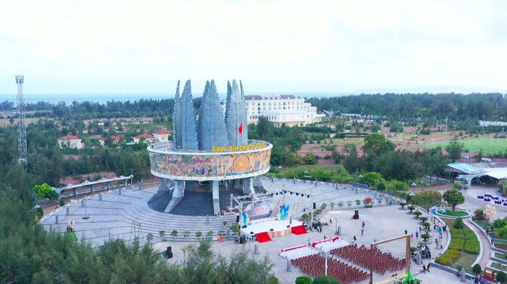
The Sa Vi Cape information complex seen from above. Photo: Mong Cai City.
To reach the main structure complex, visitors must climb a flight of stairs. From above, you can gaze out over the 17-km-long coastline of Mong Cai. Rows of pine trees surround the coast and embrace the mainland, creating a distinctive beauty for this frontier region.
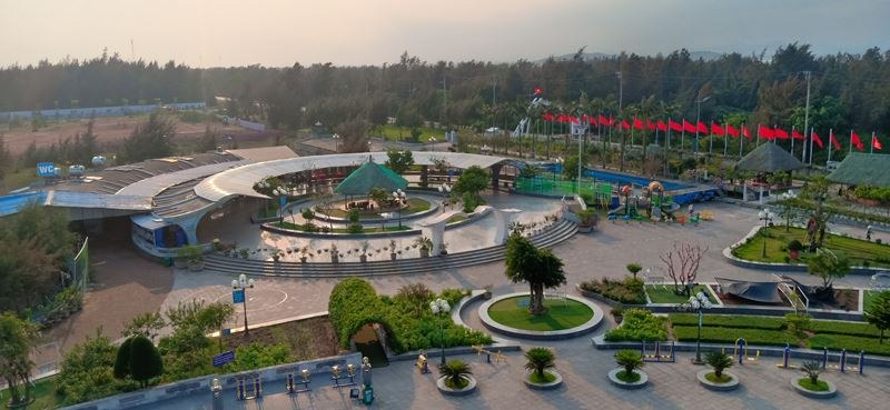
The information complex seen from above. Photo: Travel Television.
The curved roof, supported by reinforced-concrete pillars decorated in the shape of Lac birds, creates a lively space. At the complex’s service area, visitors can choose souvenirs and local specialties from Tra Co–Mong Cai and Quang Ninh Province.
Today, when visiting the Sa Vi Propaganda Information Complex at Sa Vi Cape, visitors can use services such as tandem bicycles for rides along the coast, artistic roller skating, and having photos printed on cups to preserve memorable images.
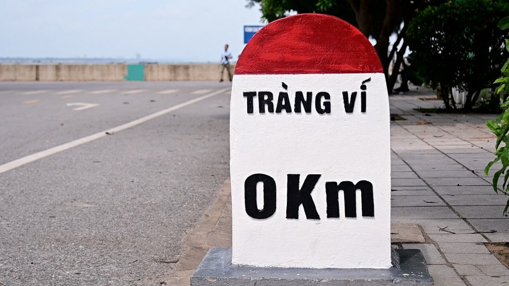
Kilometer zero marker. Photo: Nguyen Hung.
In addition, when visiting this frontier land, visitors can combine their trip with a visit to Tra Co Beach, the longest beach in Vietnam. Its sandy surface is flat, firm, and spacious, allowing cars to drive along it without getting stuck.
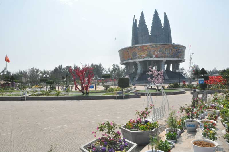
A grounds filled with trees and flowers. Photo: Hoa Binh Newspaper.
The sea along the Tra Co border has gentle, clear-blue waves. On calm days, visitors can hire boats for squid fishing. Although Tra Co squid is small, its flesh is sweet, and as much as 5 kg can be caught in one night and prepared into many delicious dishes.
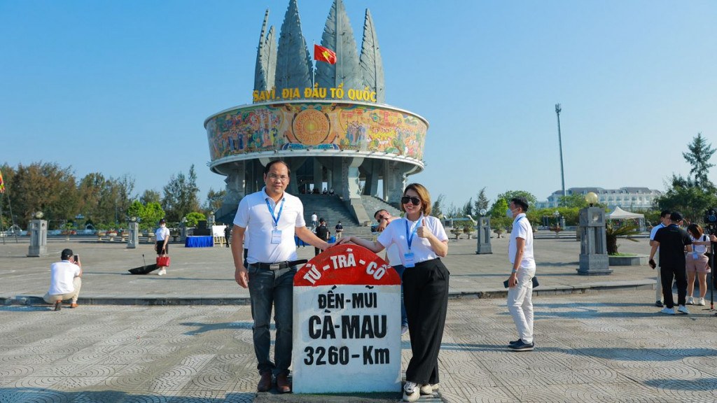
Photo: Tuoi Tre Thu Do Newspaper.
The Sa Vi Cape Propaganda Information Complex is likened to a sacred marker of the nation’s sovereignty. When visiting Quang Ninh, besides exploring the heritage site of Ha Long Bay, don’t miss this frontier destination, which offers both beautiful scenery and distinctive cultural value!