



Binh Lieu district attracts tourists with vast expanses of white reed grass, beautiful waterfalls, border landmarks, and mountain peaks… Join iVIVU to experience conquering Mount Cao Xiem, the highest mountain in Quang Ninh loved by many travelers.
Conquering the peak of Mount Cao Xiem – the “roof” of Quang Ninh province
Located at the eastern gateway of Quang Ninh province, Binh Lieu is a mountainous district with an average elevation of 500–600m above sea level, featuring many mountain peaks over 1,000m (Cao Xiem, Cao Ba Lanh, Ngan Chi…). The climate here is cool year-round, with warm sunny middays and chilly afternoons and nights. 96% of Binh Lieu's population belongs to the Tay, Dao, San Chi, and Hoa ethnic groups…

The mountain peak. Photo: Hong Ha.
Tourists coming to Binh Lieu love conquering high peaks and experiencing the untouched natural beauty with waterfalls, oil-tea camellia forests, golden camellia tea, medicinal plant forests, or exploring the arrowroot vermicelli production process and visiting ethnic minority villages…
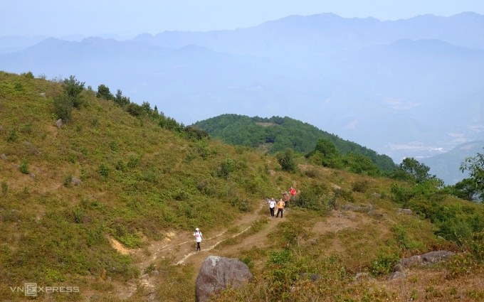
The hillside area overgrown with raspberries and purple rose myrtles. Photo: Huong Chi.
The land of Binh Lieu particularly impresses visitors with its mountain peaks and border markers waiting to be conquered, among which the summit of Mount Cao Xiem is the highest peak in Quang Ninh province. Among the 64 border markers, only a few are utilized for tourism, such as 1300, 1302, 1305, and 1327. Among them, tourists most frequently choose to conquer marker 1305.
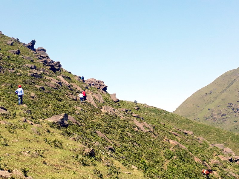
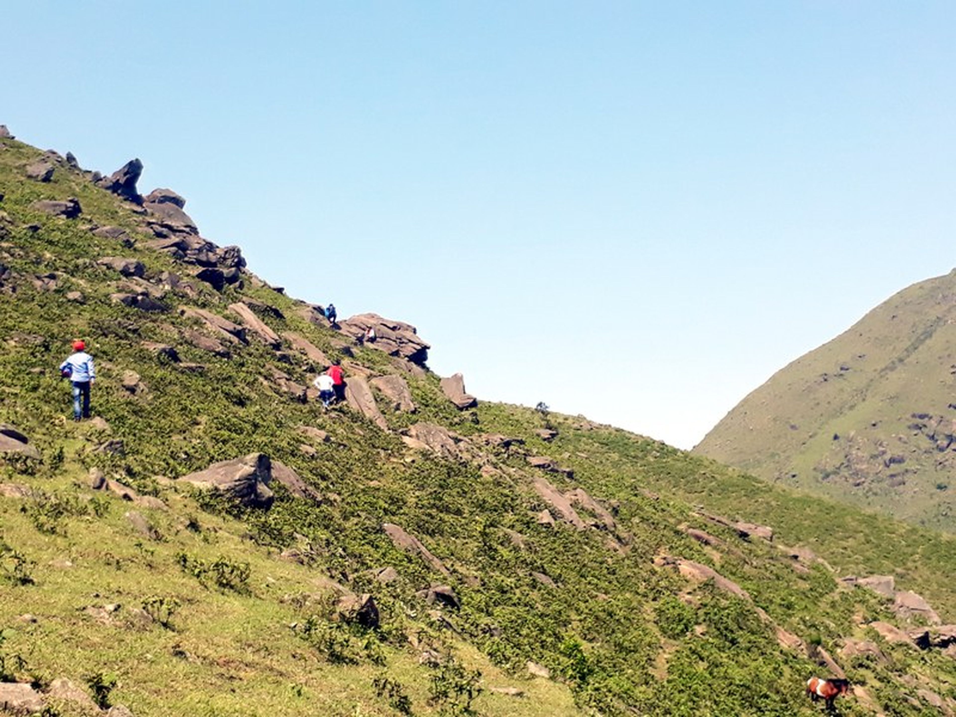
Rocky and rugged slopes. Photo: Quang Ninh Newspaper.
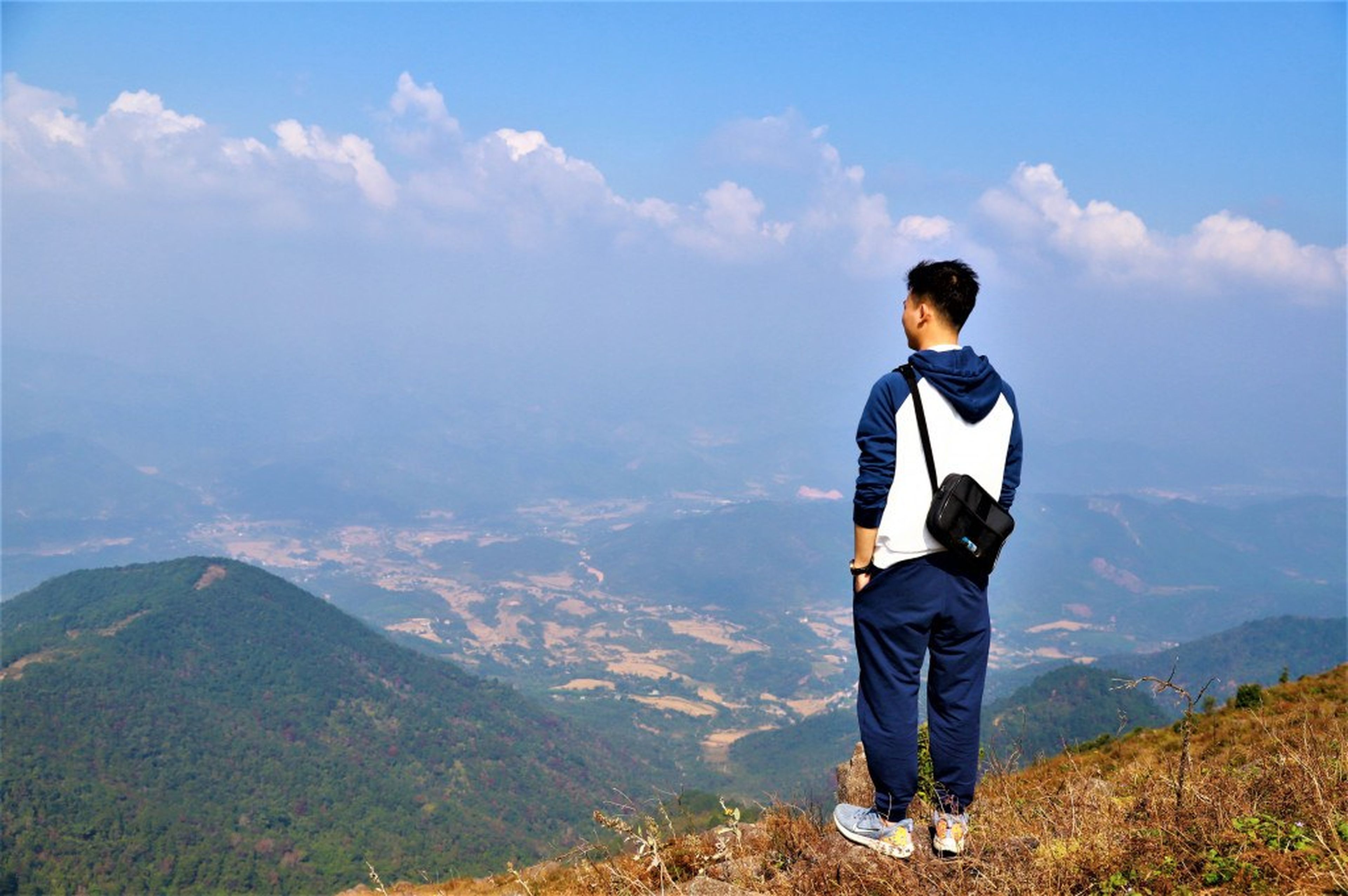
Cao Xiem Peak, also known as Khau Khoang Peak or Cot Co, stands at an altitude of 1,429m above sea level. The cold season here usually begins in November and lasts through the end of March the following year, which is also the season for trekking and cloud hunting. From the 1,429m summit, visitors can enjoy a panoramic view of the majestic, rolling mountains of Binh Lieu district.
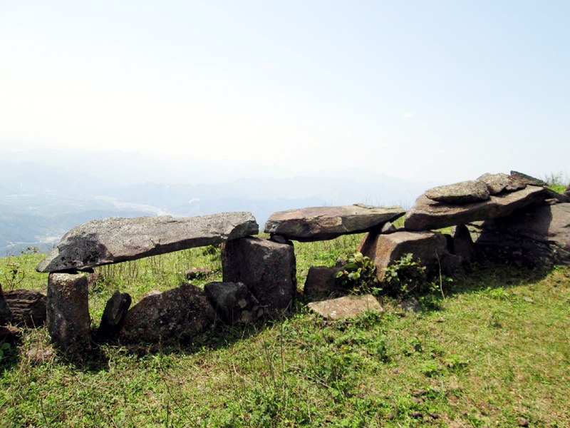
Photo: Quang Ninh Newspaper.
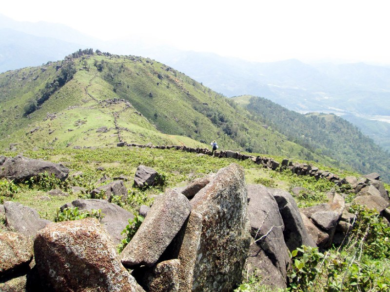
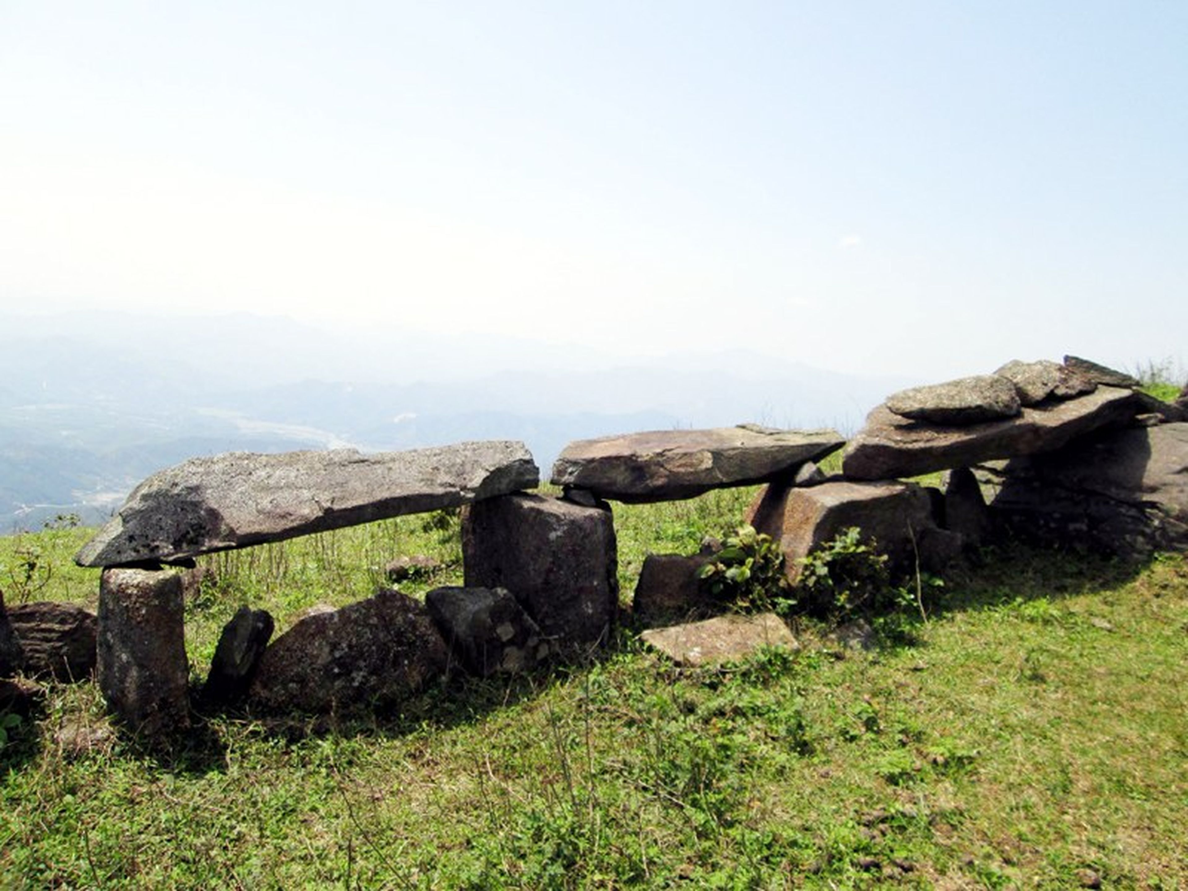
The stone wall. Photo: Quang Ninh Newspaper.
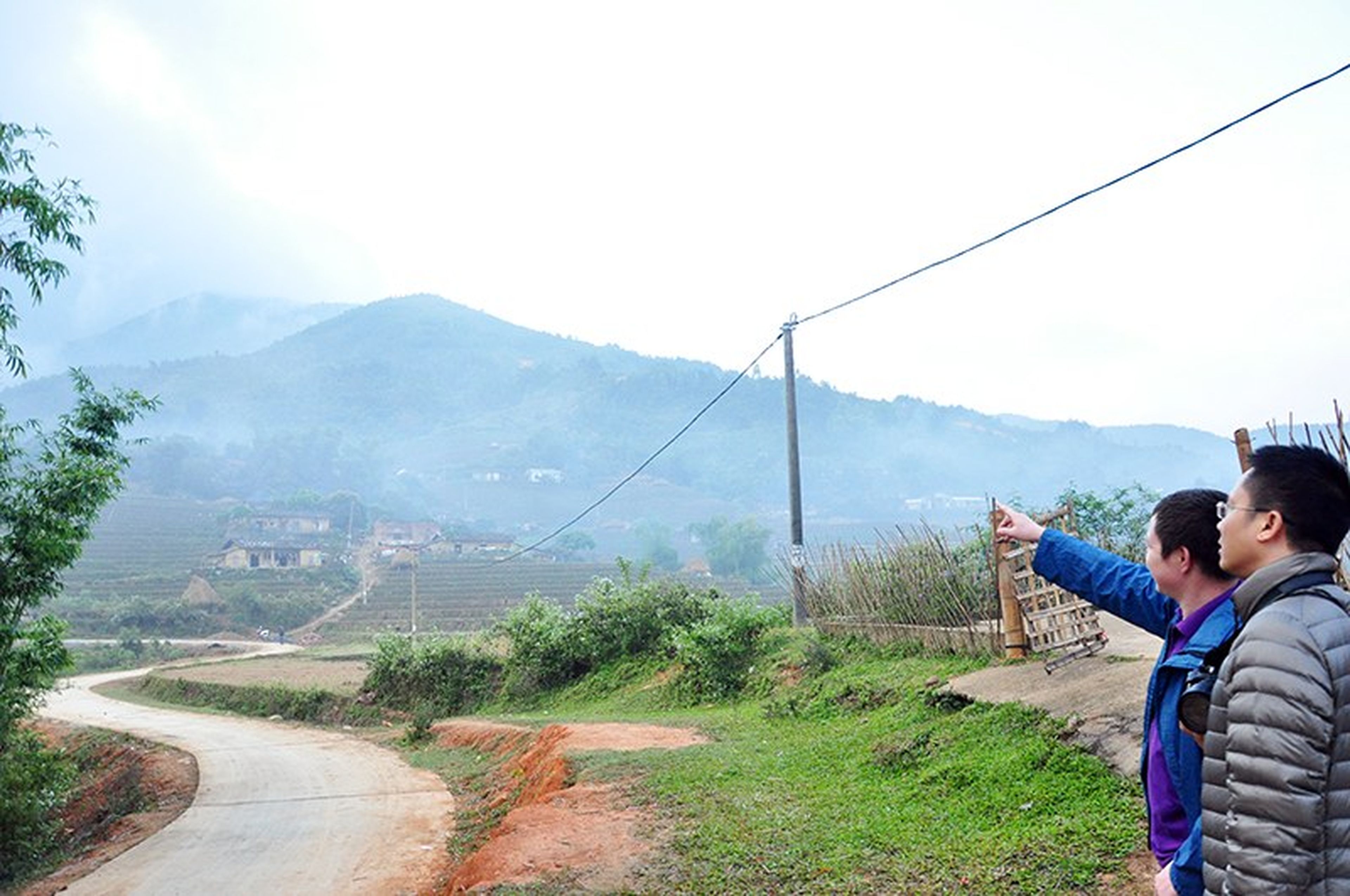
The route from the foot of the mountain to the summit of Mount Cao Xiem is more than 7 km long, making it possible to combine trekking with camping and picnicking. The path is mainly a trail running along the mountain slope across vast reed grass hills. From the center of Binh Lieu town, there are 4 routes to conquer Cao Xiem: via Cao Thang village (Luc Hon commune), via Luc Ngu village (Huc Dong commune), via Ngan Meo village (Luc Hon commune), and via Co Nhan village (Tinh Huc commune).
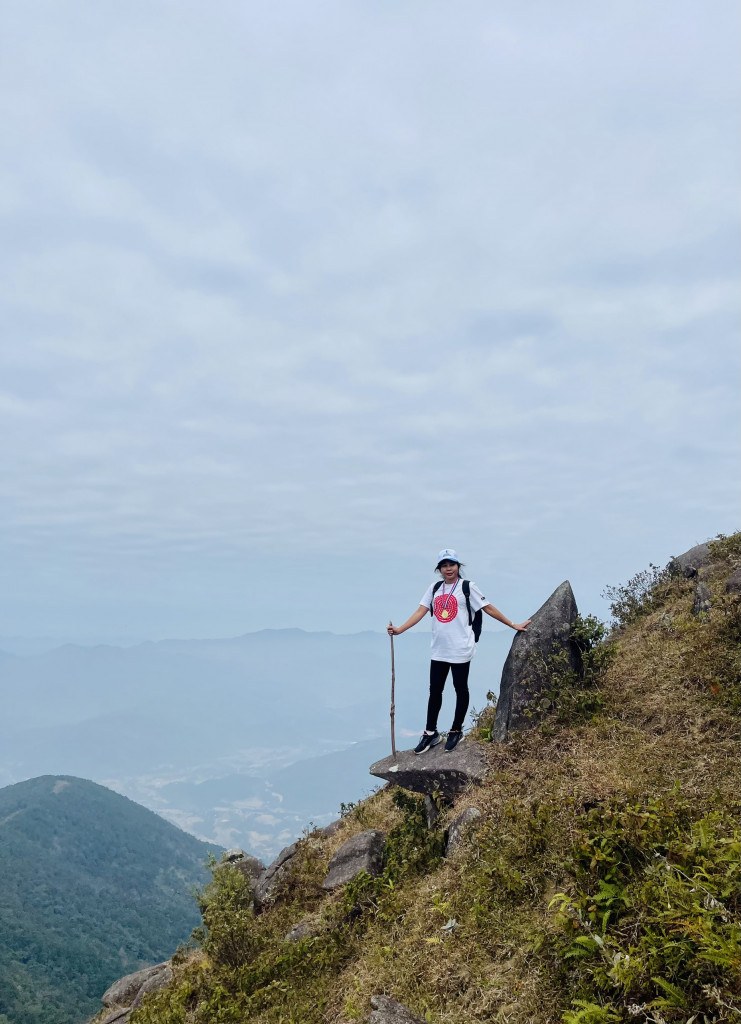
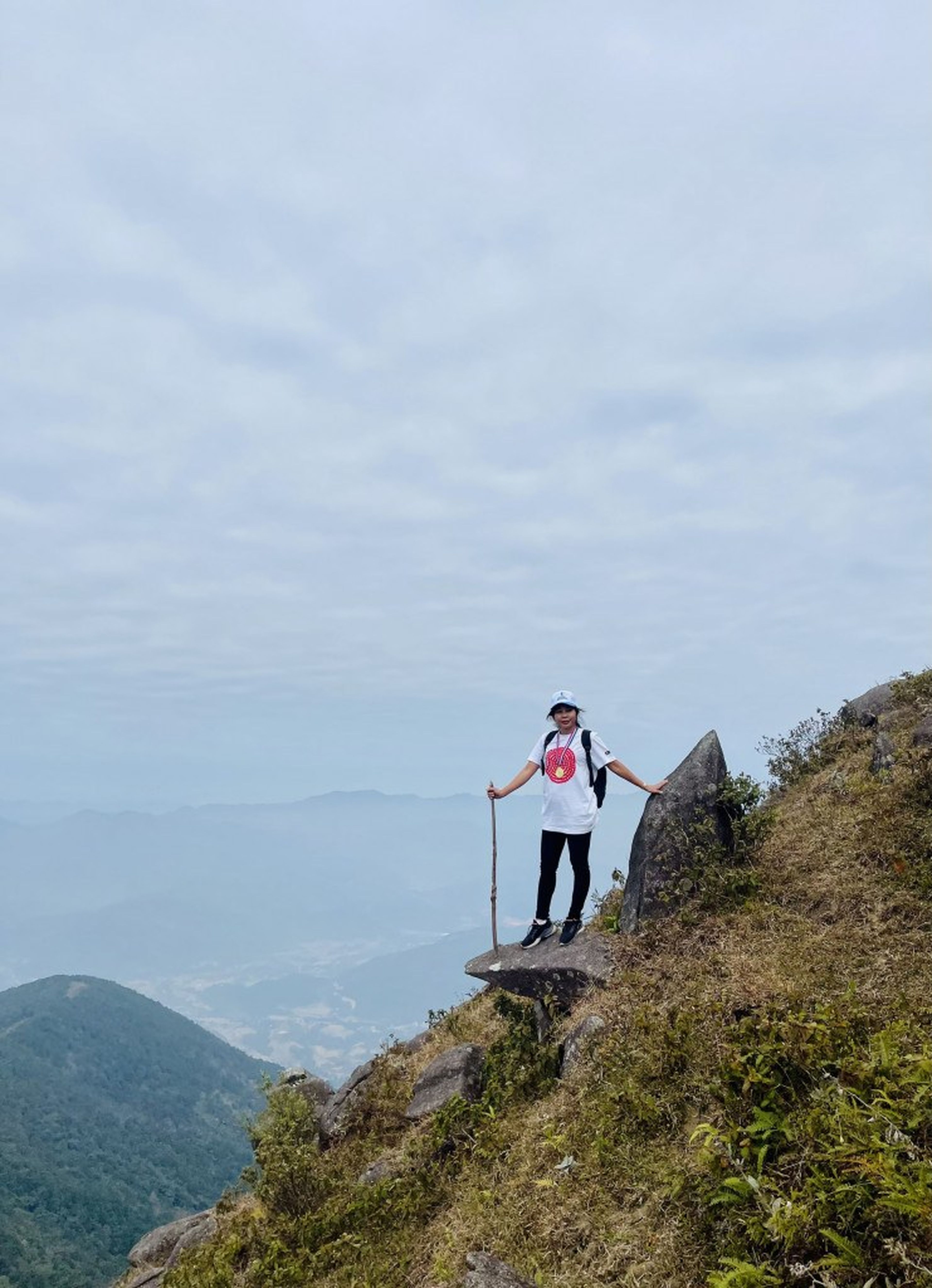
Taking a break for check-in photos. Photo: Hong Ha.
However, the Luc Ngu and Co Nhan routes have very few travelers and are mainly used by locals to graze livestock, while the routes from Cao Thang and Ngan Meo villages are more convenient and therefore more commonly chosen by tourists.
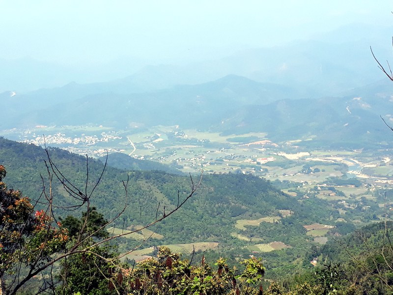
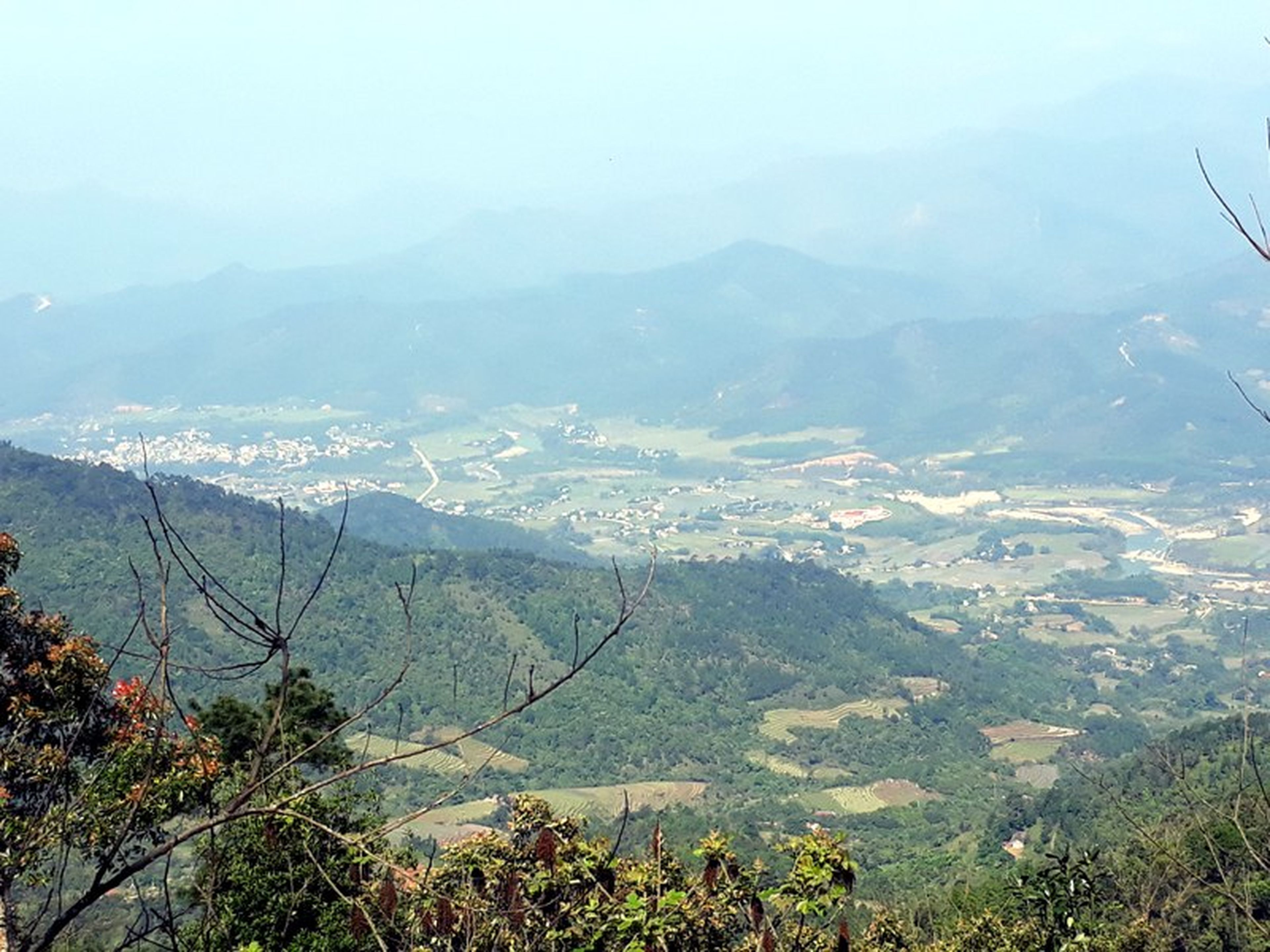
Binh Lieu town viewed from the mountain peak. Photo: Quang Ninh Newspaper.
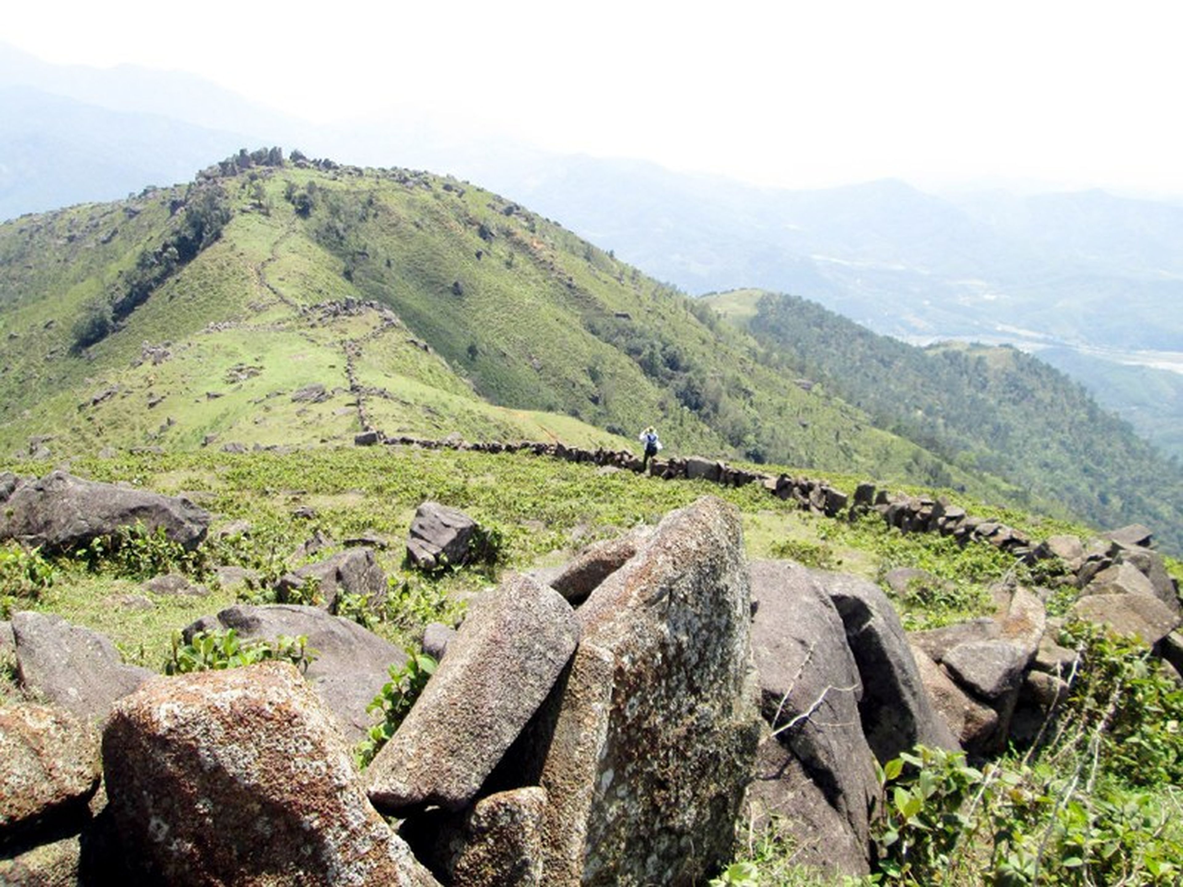
Reaching an altitude of around 1,000m, visitors will distinctly feel the change in temperature as the air becomes thinner. The natural scenery becomes even more majestic with consecutive stretches of stone “walls” running into the distance.
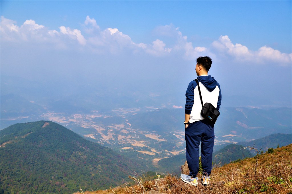
Photo: Binh Phuoc Newspaper.
These stone walls exist because the residents of Luc Hon and Huc Dong built them to demarcate territory and prevent their livestock from crossing into each other's land. There is also a legend that once upon a time, a young couple from Huc Dong and Luc Hon communes used to sneak up the mountain to date.
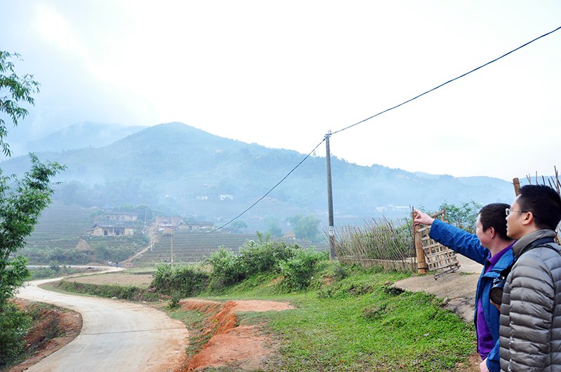
The path up Cao Xiem Mountain. Photo: Quang Ninh Newspaper.
The two were discovered by the villagers and forbidden from seeing each other, and to avoid gossip, residents of both communes erected this stone fence. These stone ramparts were built a very long time ago; no one knows in which year.

The mountain trail. Photo: Quang Ninh Newspaper.
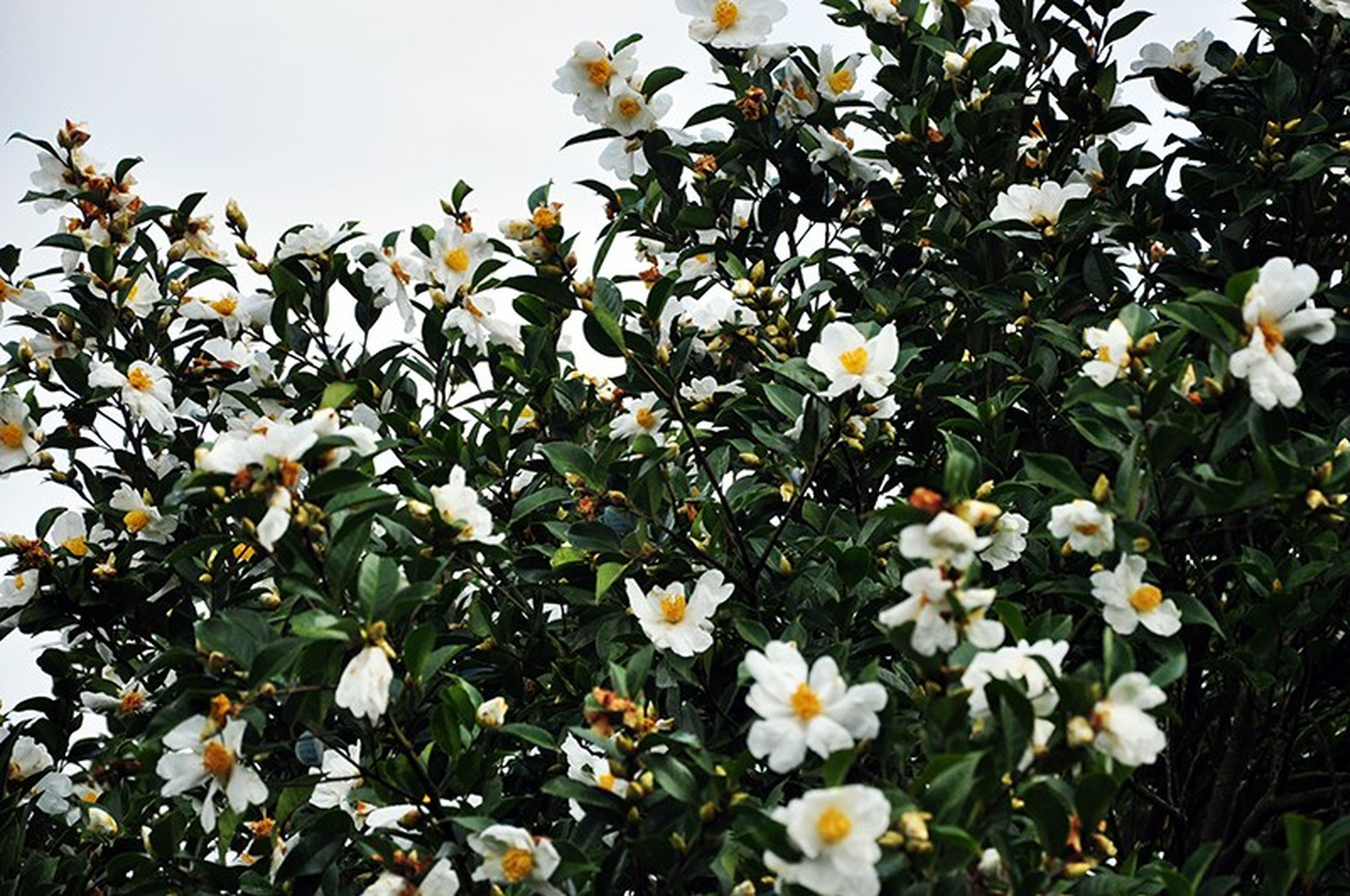
From the foot of the mountain, it usually takes about 2 hours to reach the summit of Cao Xiem. Especially toward the end of the year, on the way up the mountain, visitors will encounter many ancient sweetgum trees showing off vibrant red leaves, blooming pure white oil-tea camellia blossoms, and star anise trees bearing fragrant fruit.
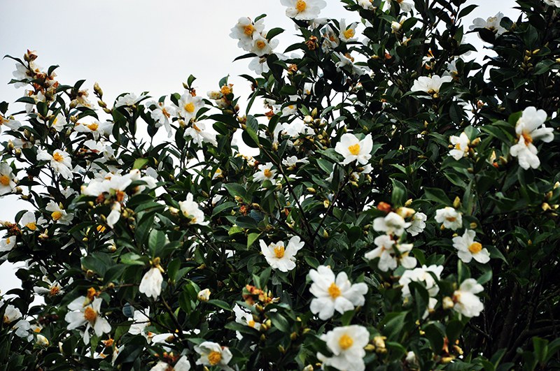
Pure white oil-tea camellia blossoms. Photo: Quang Ninh Newspaper.
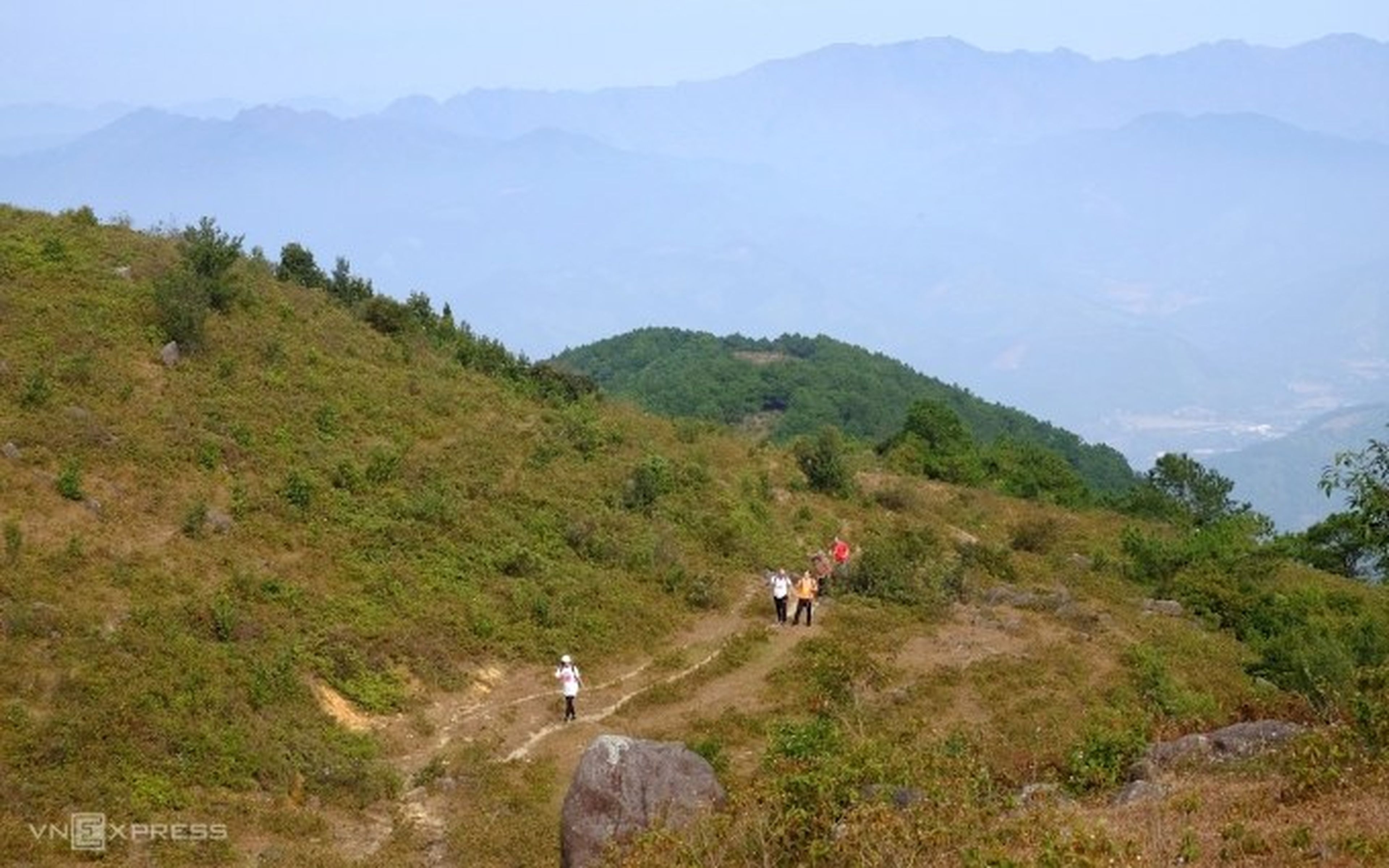
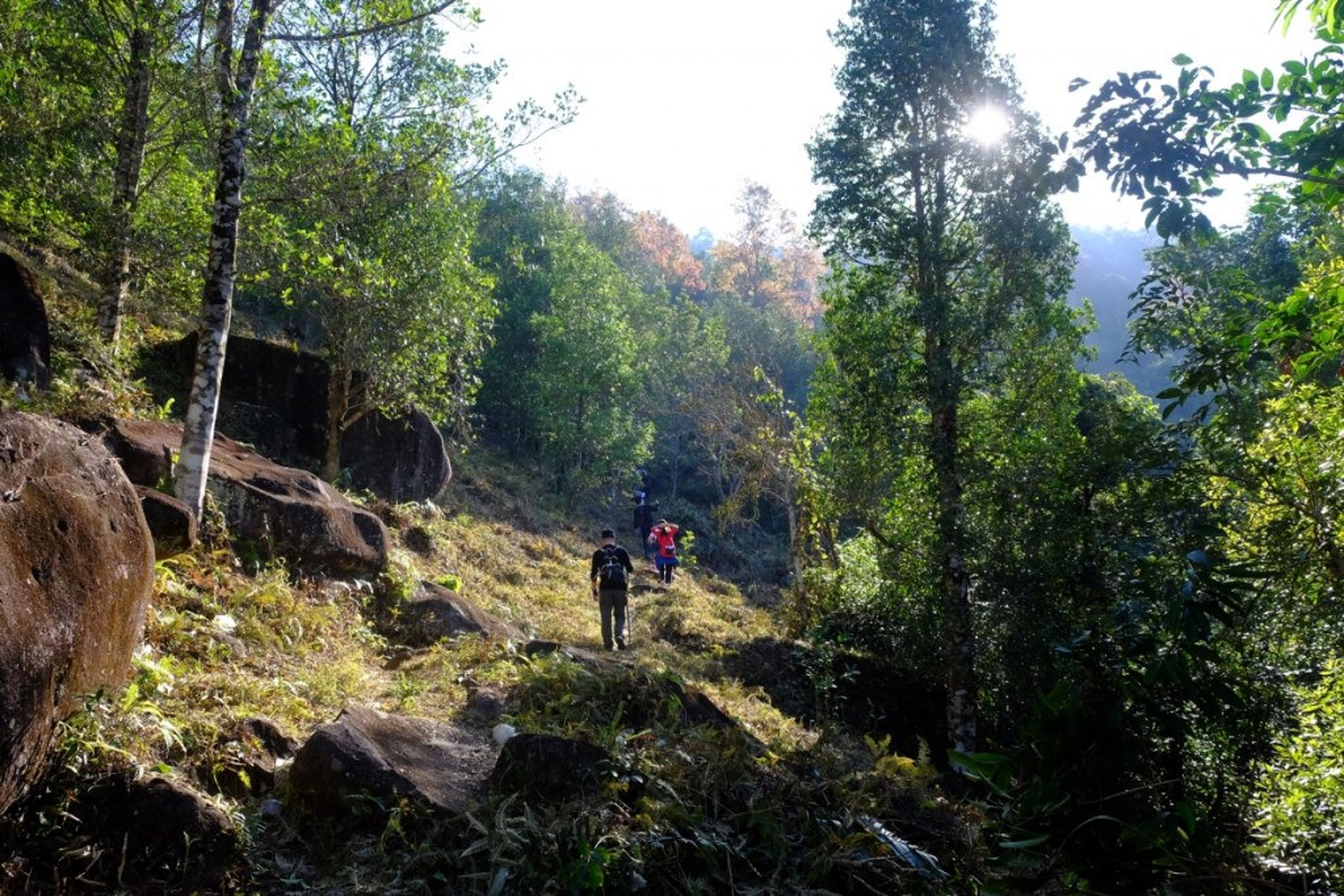
The route up Cao Xiem Mountain is not too far, but visitors need to pay attention to drinking water and resting to conserve their strength. On the mountain summit in summer, the temperature ranges from about 15 – 19 degrees Celsius, dropping to below 10 degrees Celsius in winter.
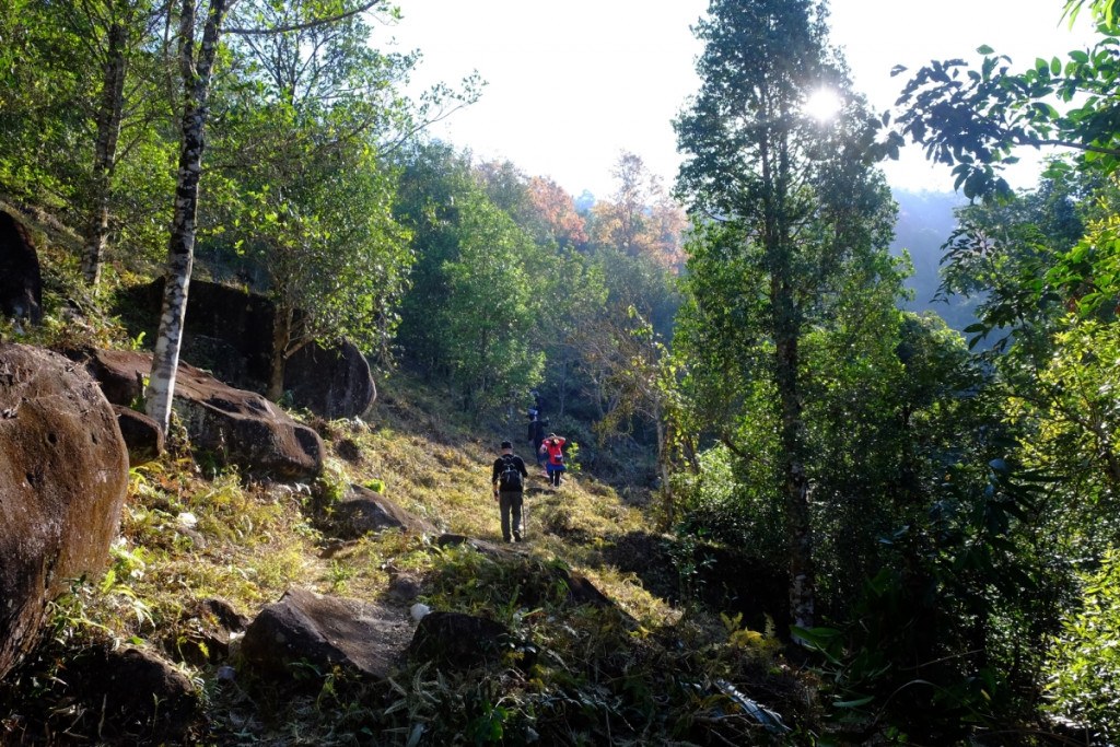
The shade of forest trees helps hikers avoid the sun. Photo: VnExpress.
On clear days, from the summit of Cao Xiem Mountain, one can take in panoramic views of Binh Lieu District and the high mountain area bordering China. The descent is less exhausting, but can still easily tire the legs of those not used to continuous physical activity. Therefore, to ensure a fulfilling trek, you should exercise regularly, taking up jogging and cycling to get accustomed to high-intensity activity before starting the climb.